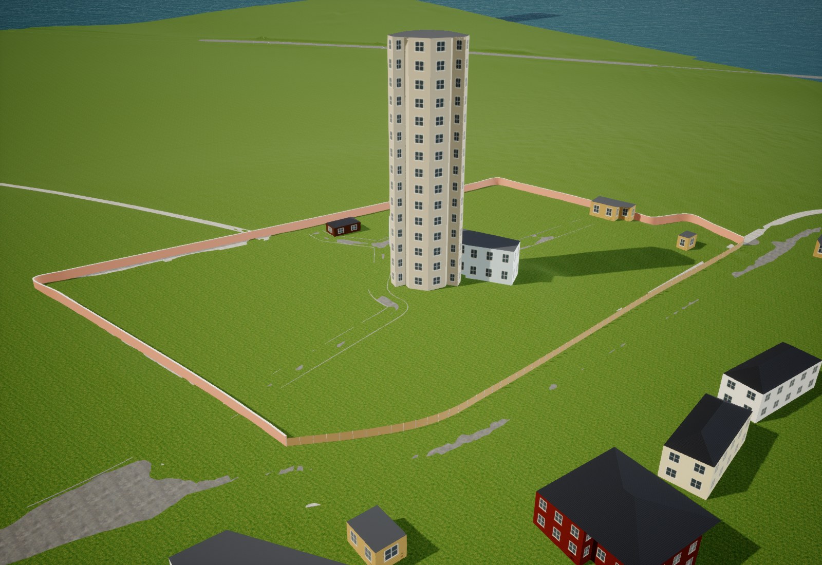
Backfill: the saved starting view of North Foreland before this reconstruction. The old lighthouse was a roughly 45 m generic block with repeated house windows; the operator gives a 26 m tower height. The site also had flat-roof cottage placeholders and fragmented paths. The replacement removes the six site building placeholders, preserves neighbouring houses, and supplies the full compound. Final walking validation is still in progress.
new shadow
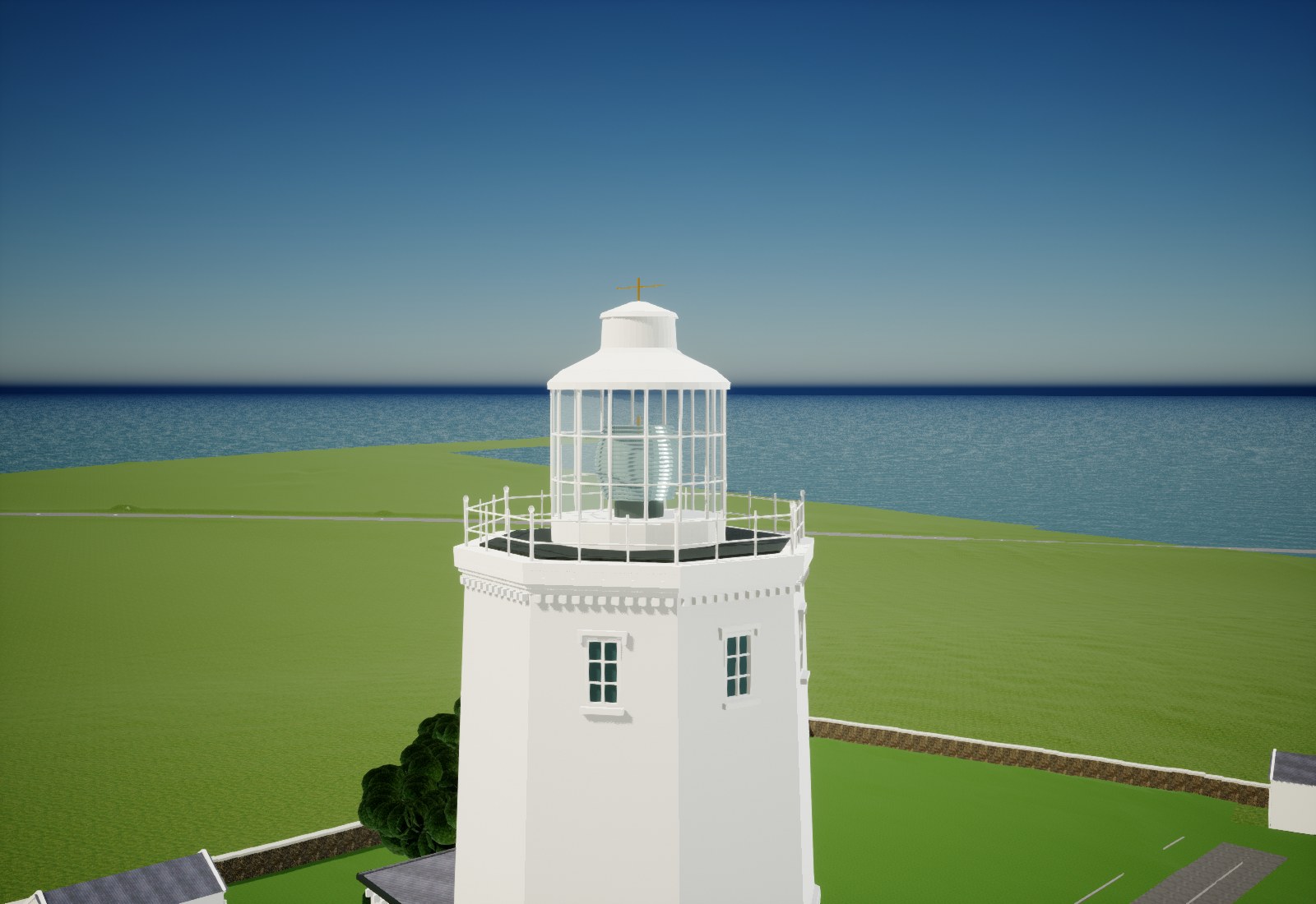
North Foreland is now in the Unreal map: the 26 m octagonal tower, glazed lantern and optic, both keeper’s cottages, service buildings, boundary walls, fences and rear path. This is an actual Unreal detail view. Review has improved the slate roofs and chimney detailing; it also caught old path fragments showing through and a few floating foundation edges. Those are being corrected before the final walking test and 8/10 quality gate.
new shadow
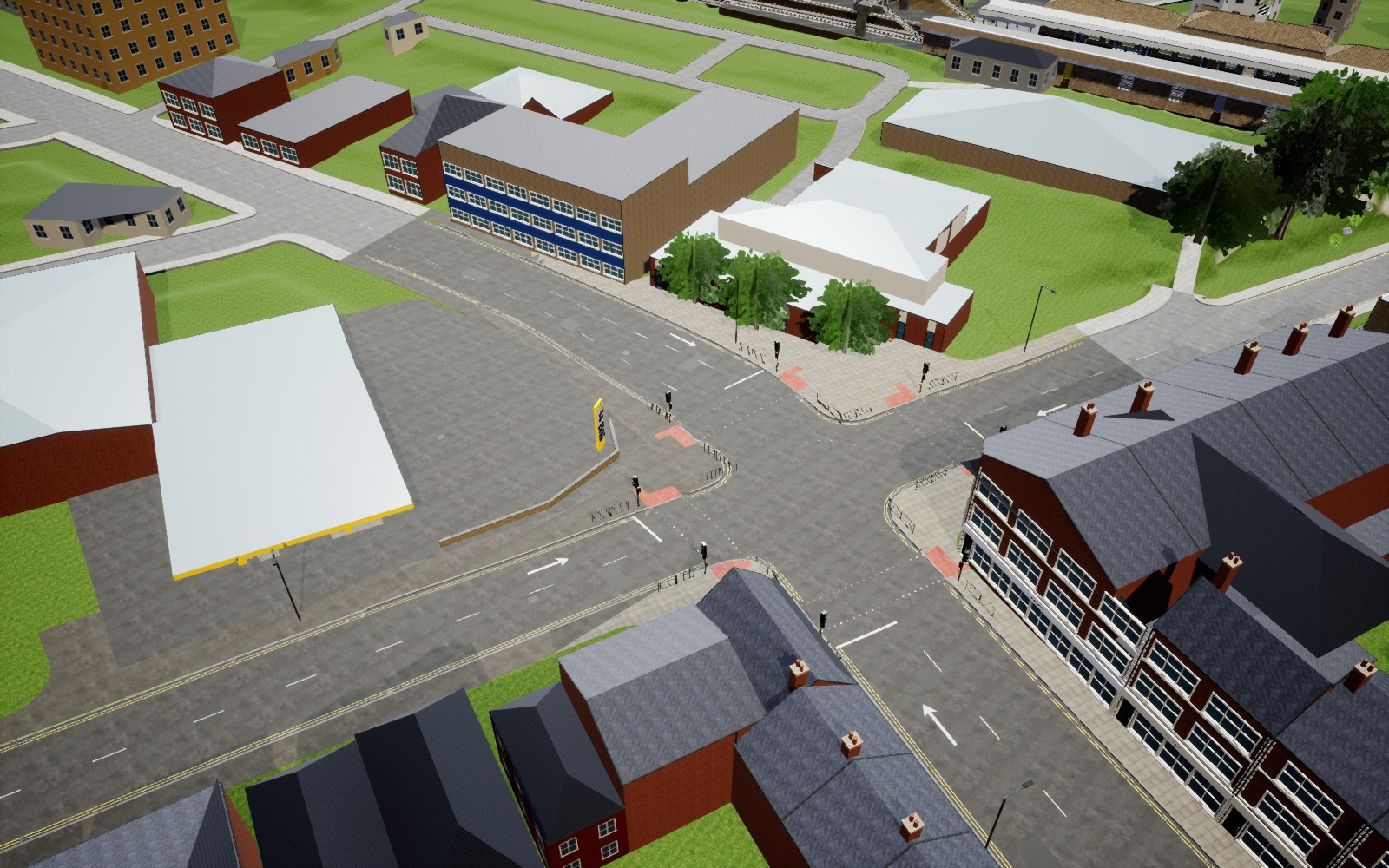
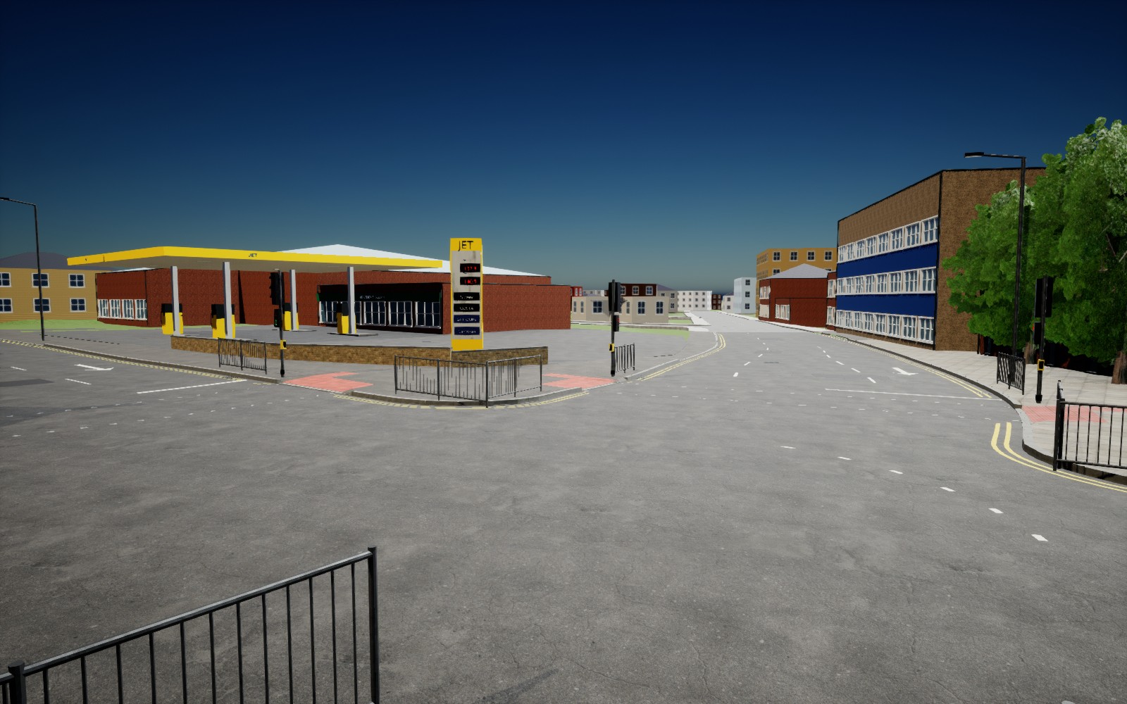
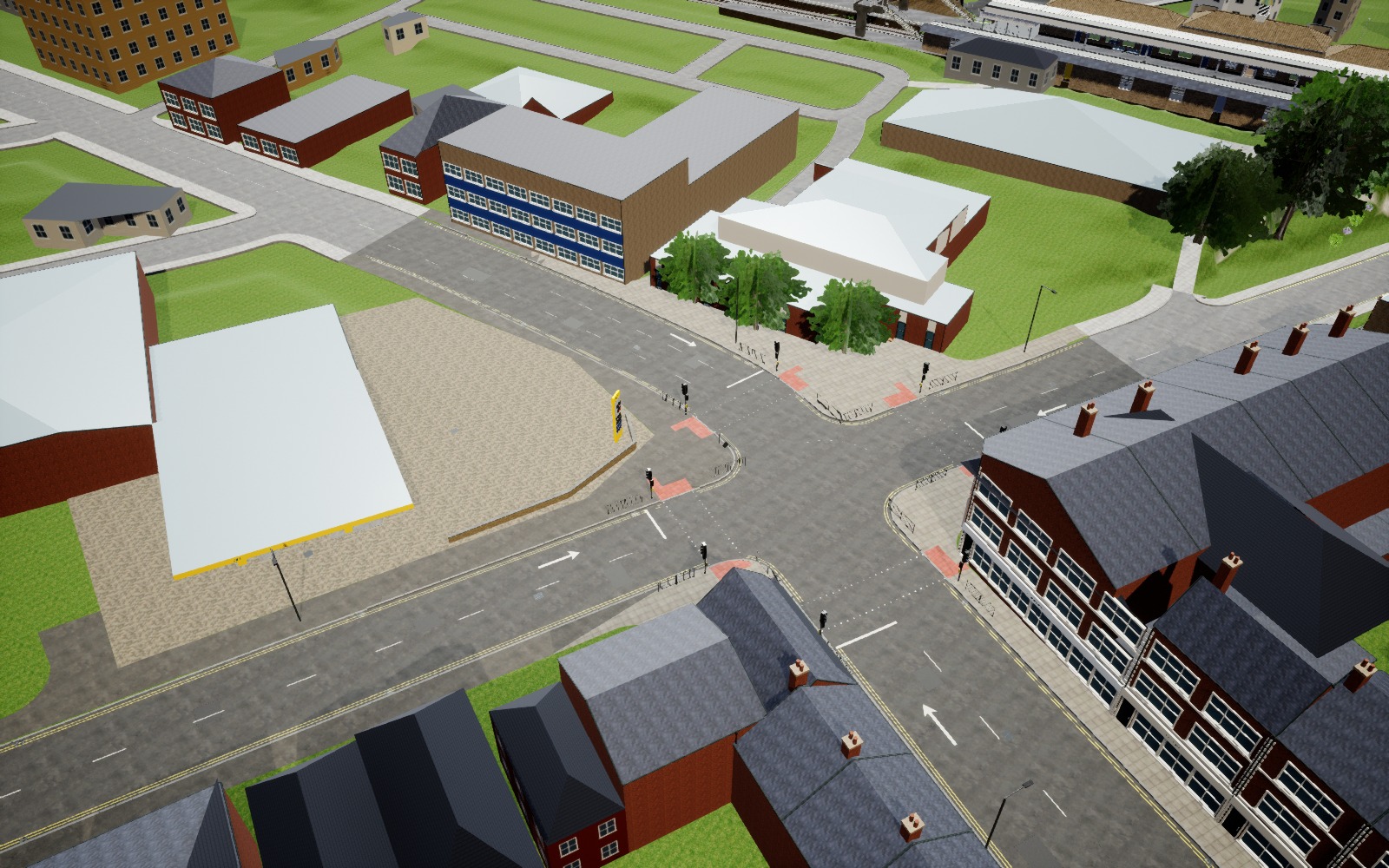
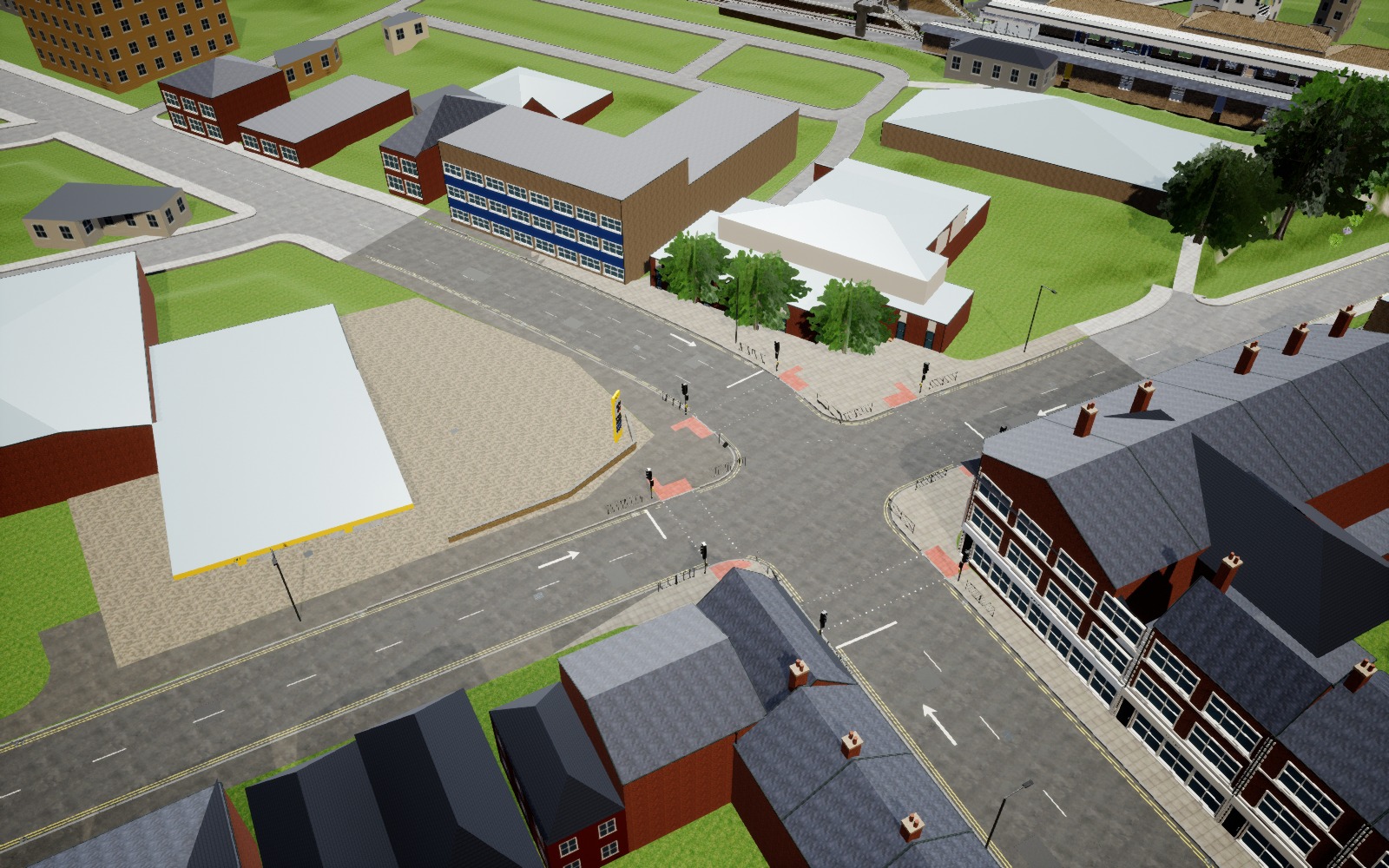
Broadway petrol-station corner corrected: the kerb is set back by 1.83 m (six feet), with a smaller forecourt and about 36 square metres returned to the road for a straighter junction approach. The forecourt now uses the road asphalt. Kerbs, crossings, signals, barriers and the price sign follow the revised corner. This is the saved Unreal result, checked after reopening; surrounding buildings remain first-pass models.
new shadow
The revised Broadway candidate pulls the petrol-station corner back six feet and returns about 36 square metres to the carriageway. This actual Unreal preview shows the more direct approach and shared road/forecourt asphalt. Review caught a thin paving-edge seam, which has now been rebuilt; the new edge still needs its native render check before installation. Signals, barriers and the price sign have moved with the corner.
new shadow
Starting a detailed North Foreland Lighthouse replacement for the Thanet explorer: tower, keeper’s cottages, service buildings, compound fences and walls, and the rear public footpath. Reference work has identified the mapped building and path layout plus front, garden and aerial photographs. The tower will use Trinity House’s 26 m dimension; the separate 57 m light elevation must not become the model’s height. Visual review and in-map checks are still ahead.
new shadow
Revising the petrol-station corner at Broadway after review: its eastern edge projects too far into the junction. The next pass will set it back by about six feet, give that space to the road and reshape the kerb, crossing and forecourt boundary together. The forecourt will use the same asphalt as the road, as requested. This is the saved starting view, before the correction.
new shadow
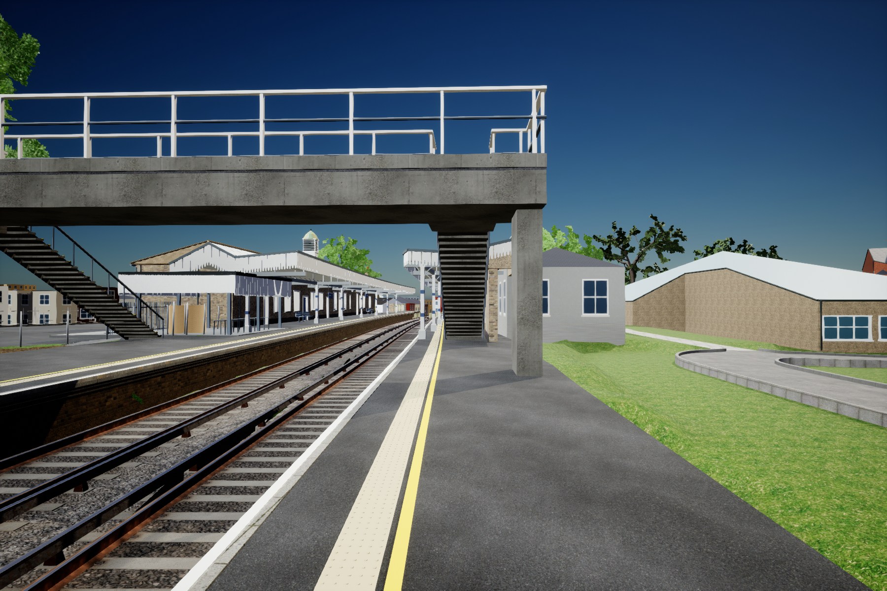
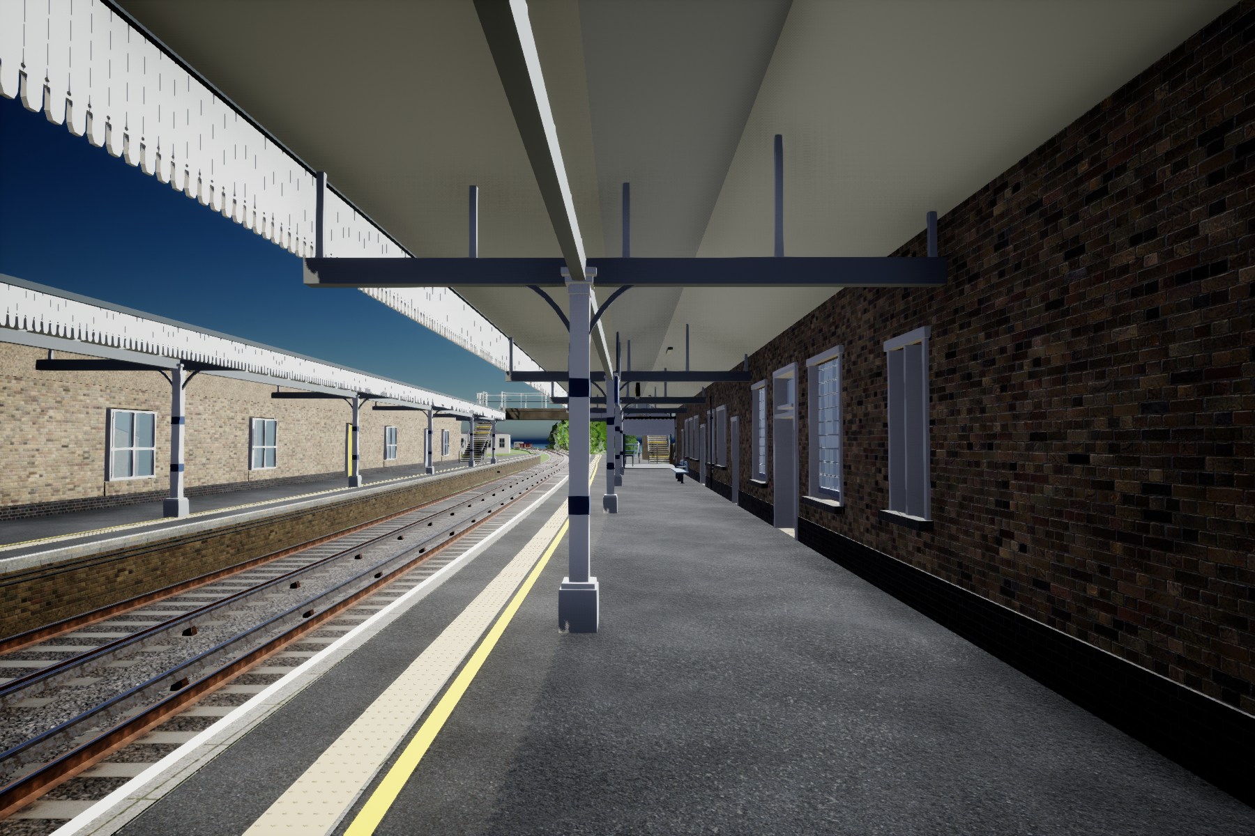
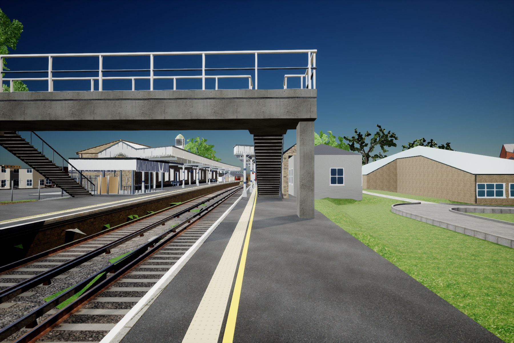
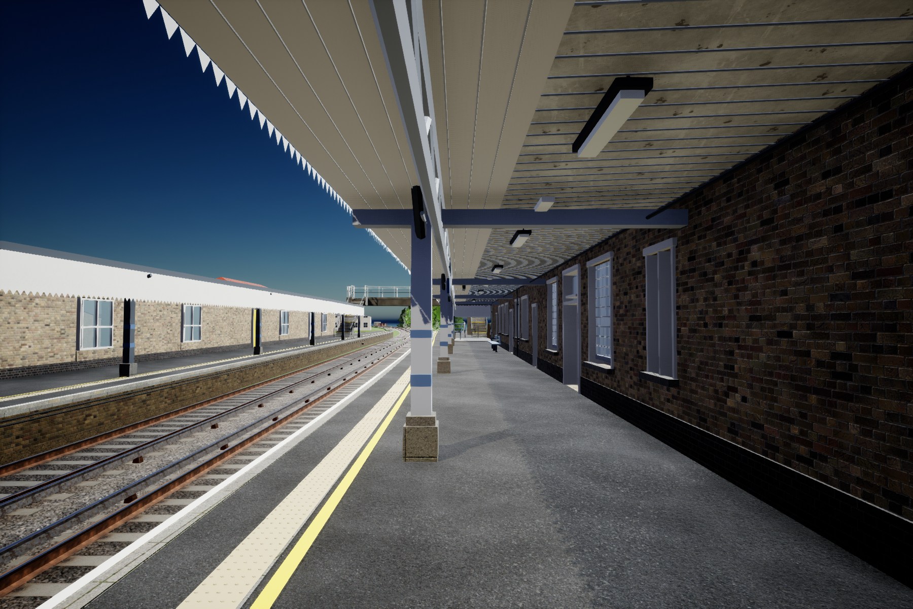
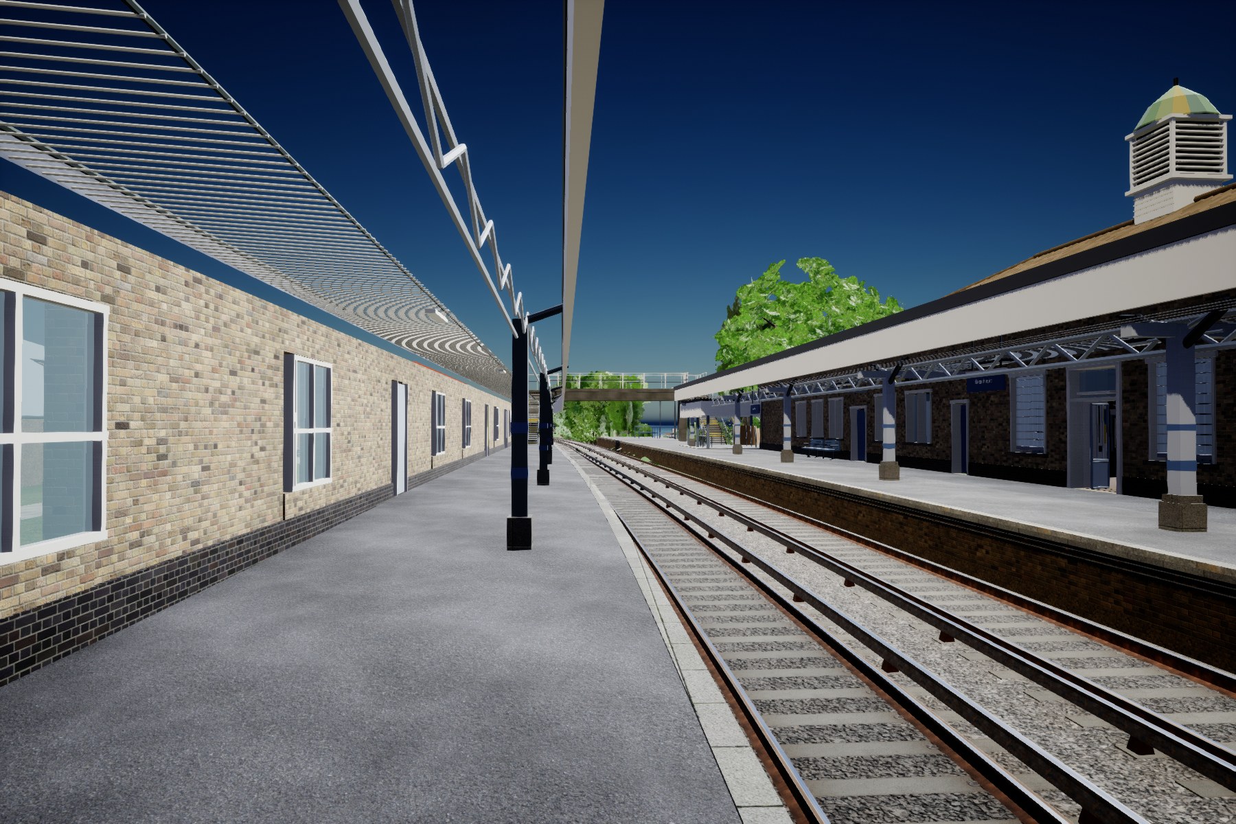
The ground cutting through Broadstairs station tracks is repaired and checked after reopening ThanetWorld. Two overlapping park meshes were clipped and 356 derived ground points corrected. A finer check caught 33 extra edge contacts; all 13,369 final rail contacts now pass. Solid surveyed canopies, the closed west roof junction and platform markings are saved, with 52 platform-floor checks retained. Actual saved-map render. Further station and street detail remains; the overall 8/10 target is still open.
new shadow
Broadstairs canopy and platform repairs are now saved and checked after reopening: solid roofs, measured pitches, shaped trim, column brackets and a closed west wall junction. This is an actual saved-map detail. The large park-ground overlap in the tracks is removed. A finer 25 cm check caught 33 smaller ballast-edge contacts; their additional ground correction is queued before final clearance verification. Station realism remains in progress and the overall 8/10 target is open.
new shadow
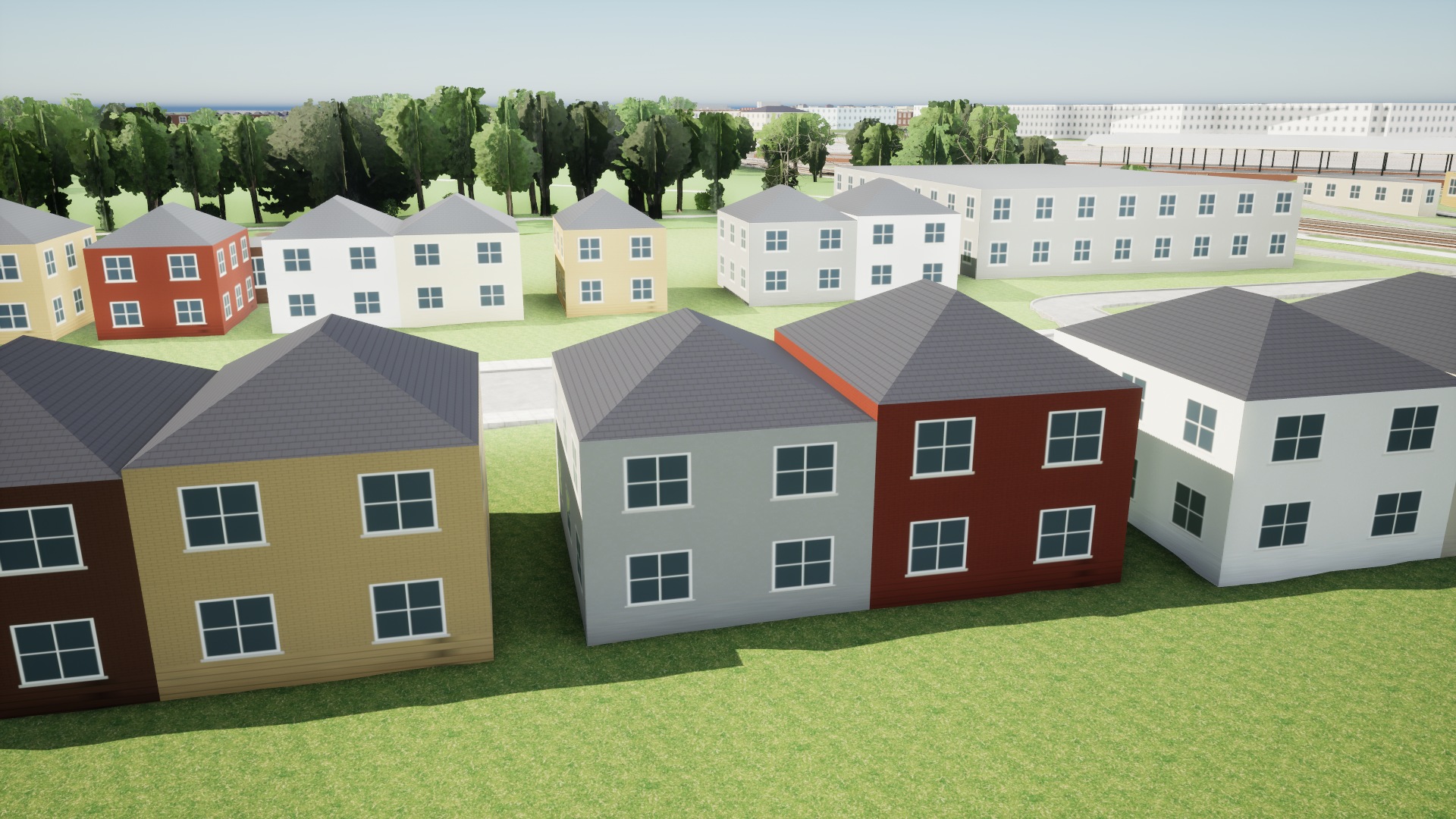
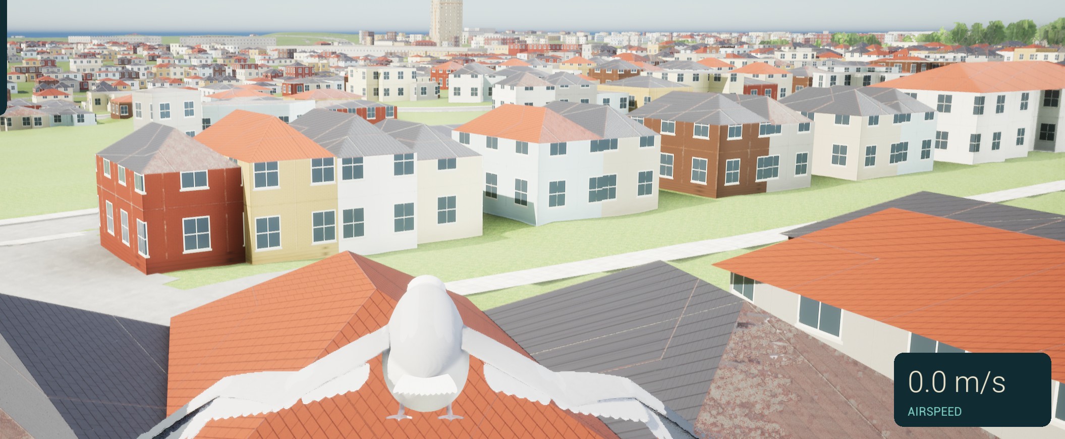
Verified in the rebuilt game: the placeholder houses now have consistent grey roofs and complete window rows below the eaves. The repair covers all 806 active town mesh assets. Seven views across Ramsgate, Westwood, Broadstairs and Margate passed, including close and distant roofs and the duplicate flat-roof site. The original mixed roof patches and clipped upper windows were absent in the inspected views. This is the actual packaged-game result in Ramsgate.
new shadow
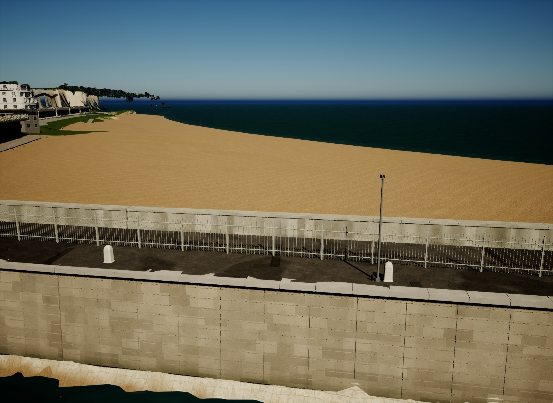
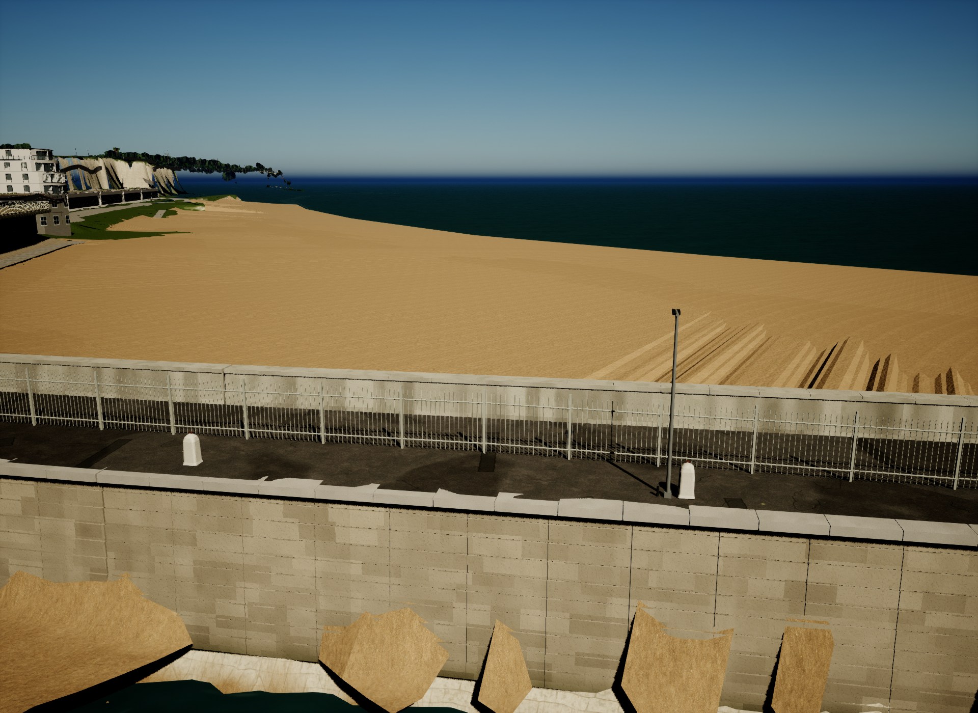
The tall quay spikes and long beach ridges are now gone in the saved engine geometry views. A retained one-metre LiDAR dataset rebuilt the old sand surface across its existing 39,964-square-metre footprint. Its exact duplicate was removed from a scoped copy of the older seafront model, preserving the other geometry. This same-angle diagnostic still exposes a smaller pale terrain seam at the inner waterline; that remains under review before the final game views and walking checks.
new shadow
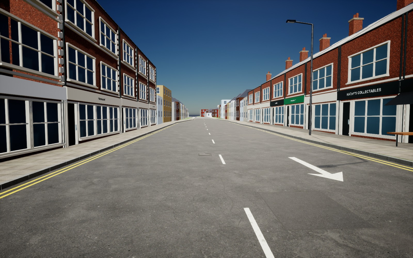
Detail: the oversized south Broadway pavement is corrected. The inherited road alignment sat too far east of the mapped shopfronts; both kerb lines now follow the revised approach. Model pavement widths are about 3.3-3.5 m west and 2.2-2.5 m east. Street View informs the widths, while LiDAR controls ground levels. This actual saved-world view also shows the road repairs and slope-following service covers.
new shadow
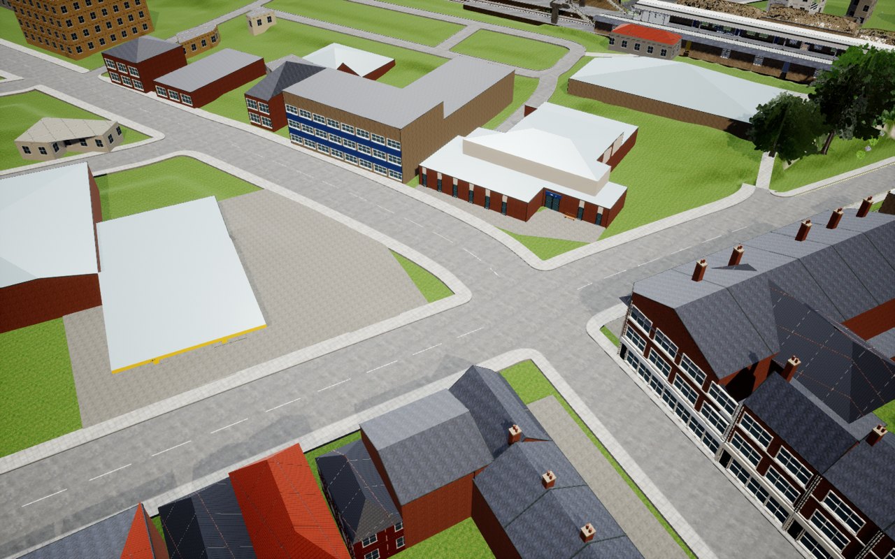
Broadway crossroads and the petrol forecourt now have detailed road surfaces, individual kerbs, tactile crossings, signals, drainage and herringbone paving. Five placeholder road actors are replaced, with native outer connections retained. The saved world passed 1,173 surface and collision checks; 295 other loaded files stayed unchanged during installation. This is the final Unreal overview. The surrounding building facades remain their earlier first pass.
new shadow
The roof repair is installed, and the follow-up window problem is now corrected across all 806 active town mesh assets. Fixed three-metre texture repeats had left many top windows cut by the eaves. Complete window bays and storeys now fit each wall, with a clear band below the roof. Every building's geometry was checked unchanged during the window update. Fresh reopen and packaged-game checks are next.
new shadow
Broadstairs station now has a surveyed canopy reconstruction in review: pitched sheets, solid undersides, curved fronts, pierced white valances and banded columns. This actual Unreal candidate also exposes the next defects clearly: green terrain protrudes between the tracks, and the west roof needs its missing masonry connection. Those are being corrected before this rebuild is saved to the map. Platform curves remain anchored to the survey; the overall 8/10 realism target is still open.
new shadow
The first LiDAR-based foreshore repair is saved in the explorer. Seven local meshes now follow the retained one-metre terrain data, with shared edges checked. Matched engine views show the repeated tall band around the bend removed and most quay-side sheets reduced. This same-angle diagnostic still shows northern protrusions and beach ridges: those are being traced to their remaining source components before acceptance.
new shadow
The saved meshes confirm two causes: 37 exactly duplicated faces, plus roof texture coordinates whose reduced precision shifts the pattern by up to 3 metres. A scoped cleanup is prepared for 33 town cells, preserving roof coverage, and a shared grey slate/flat-roof finish avoids the broken mapping. Installation and in-game checks are next.
new shadow
Broadway junction work in progress: the first Unreal preview now has signal crossings, tactile paving, individual kerbs, drains and the photographed herringbone forecourt. Native outer road connections are retained. Review caught thin grass gaps and some surface markings that need a closer fit; these are being corrected before installation. The 8/10 realism target is still under review.
new shadow
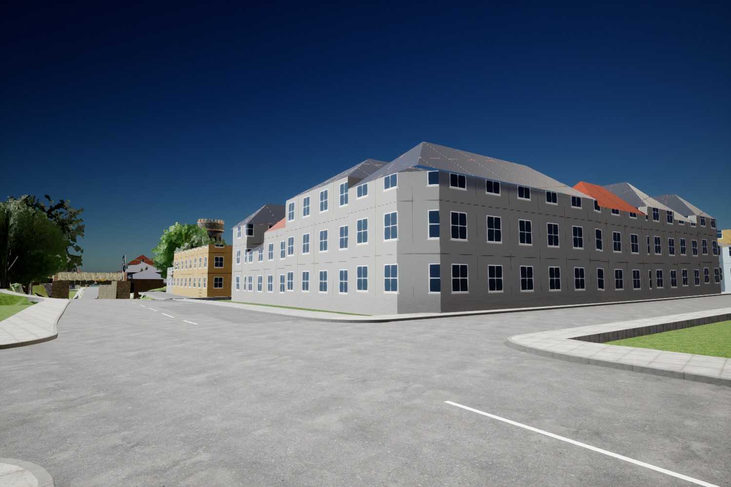
Investigating the background buildings after this in-game screenshot showed broken-looking roof patterns and apparent overlapping surfaces. I am checking the saved building actors, roof geometry and shared texture mapping before applying a consistent roof finish. This is the reported starting state; no repair has been verified yet.
new shadow
The see-through station roofs are fixed, saved and confirmed after reopening ThanetWorld. This actual Unreal preview also adds the missing west-platform warning line, buff tactile paving, white coping and darker asphalt. The 2024 LiDAR supports the exposed platform levels within roughly 8 cm overall, so their established curve is retained. The survey reveals incorrect canopy pitches and a low west canopy; a separate reconstruction is now being checked. Platform details shown here are still a candidate. The 8/10 target remains open.
new shadow
Station repair starting-state backfill: this actual Unreal view records the see-through canopies and missing platform markings before correction. Both roof undersides are single faces pointing away from people on the platform; several markings face downward too. Work has moved urgently to the station. The full station is now covered by the 2024 EA LiDAR survey, with public station photographs guiding roof shape, valances, platform edges and access. The approved High Street road curve is being preserved.
new shadow
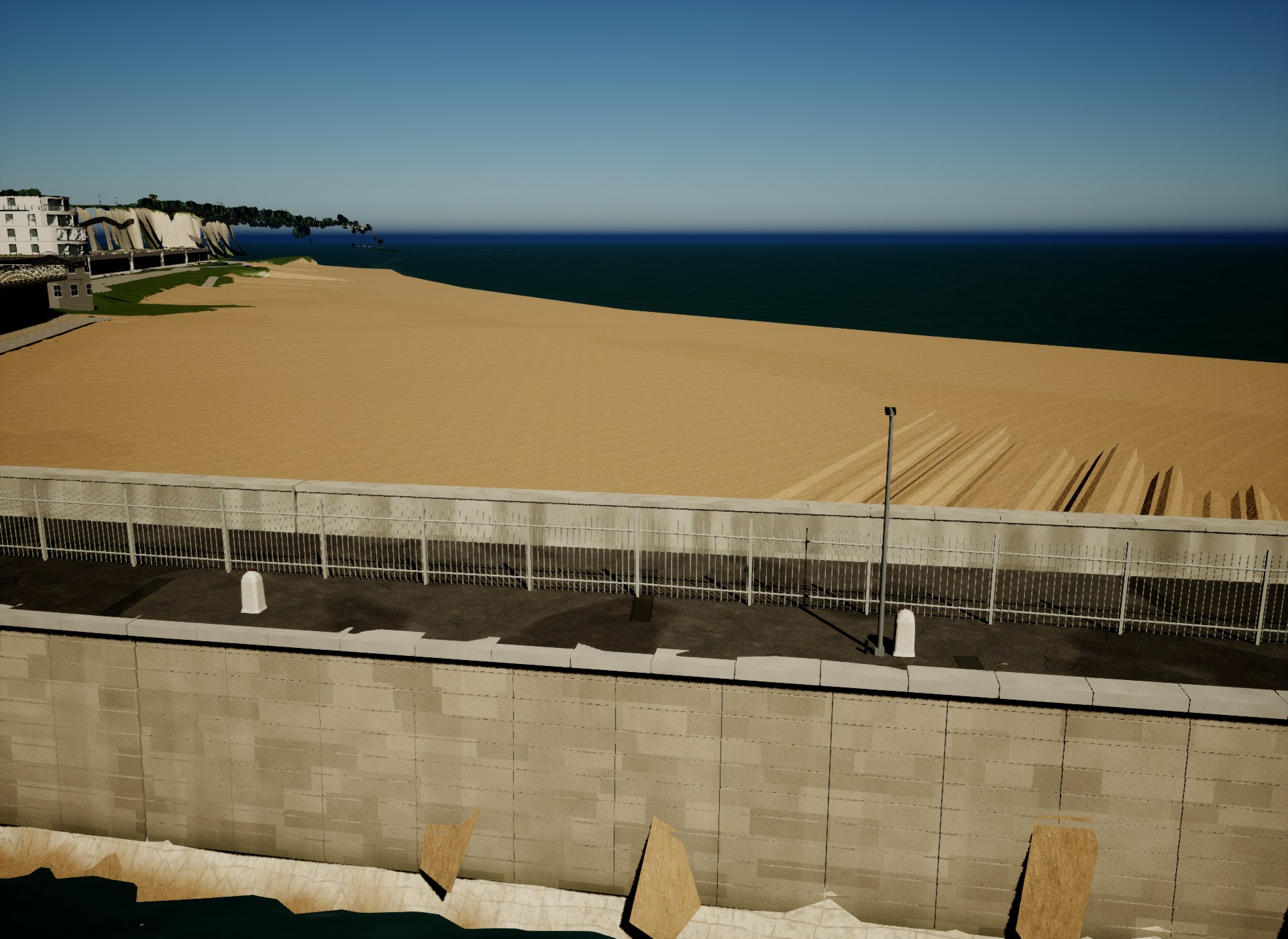
Engine inspection confirms a remaining harbour-edge defect: beach and intertidal meshes rise into tall sheets beside the pier. Ground probes identify these meshes, with some points several metres above the retained LiDAR terrain. A bounded survey-based correction is being prepared, followed by the same engine views. This image is the current geometry diagnostic before repair, with simplified lighting; the harbour is not yet accepted.
new shadow
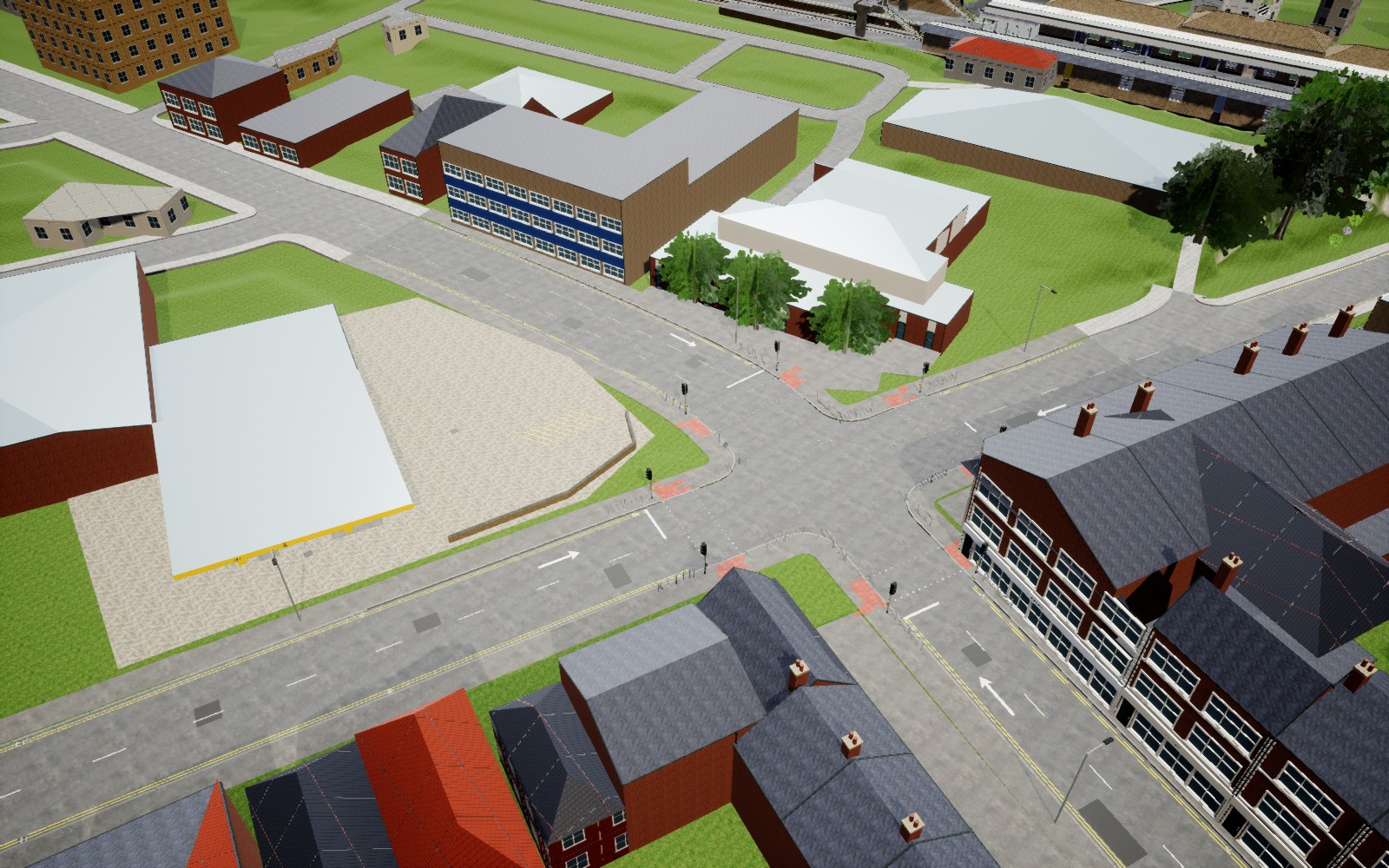
Starting a dedicated realism pass on the Broadway crossroads and petrol forecourt. The saved buildings are surrounded by generic pale road surfaces and lack the observed signals, tactile crossings, drainage and kerb detail. Street View confirms herringbone forecourt paving and a three-lane northern approach. The replacement will preserve the separate bridge road work. This is the actual Unreal starting view; the 8/10 realism target is not yet met.
new shadow
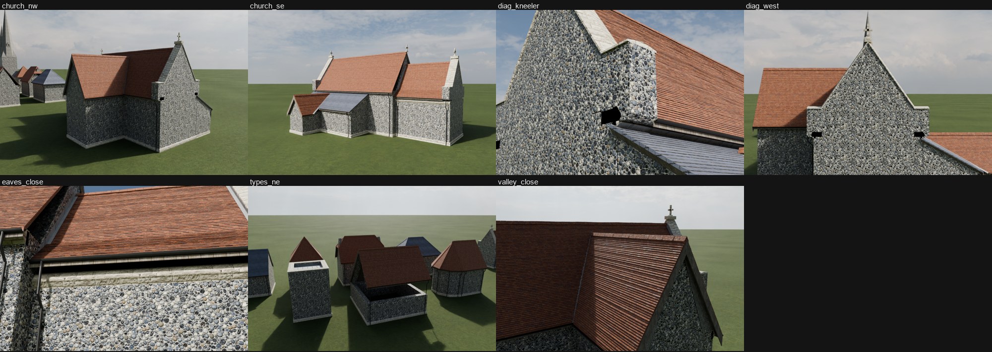
Starting the full 84-church inventory for ThanetWorld. Earlier work produced research, materials and reusable architectural components; the individual church builds are still to do. This is an earlier roof-component test, including visible join defects to repair, not a finished church. I am recovering the photographs and LiDAR studies, preserving detailed churches already in the map, and checking the D-drive working copy before modeling and map integration.
new shadow
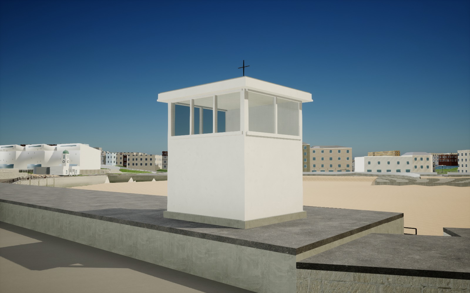
The missing lookout at Margate Harbour Arm’s bend is now modeled and saved: white walls, framed observation windows, roof edging, side access and aerials. Its base fits entirely on the mapped roof, and all existing harbour geometry is preserved. Reopened geometry and all 1,284 standing / 2,560 movement checks pass. Actual native preview shown; dimensions and obscured details are photo-fitted estimates.
new shadow
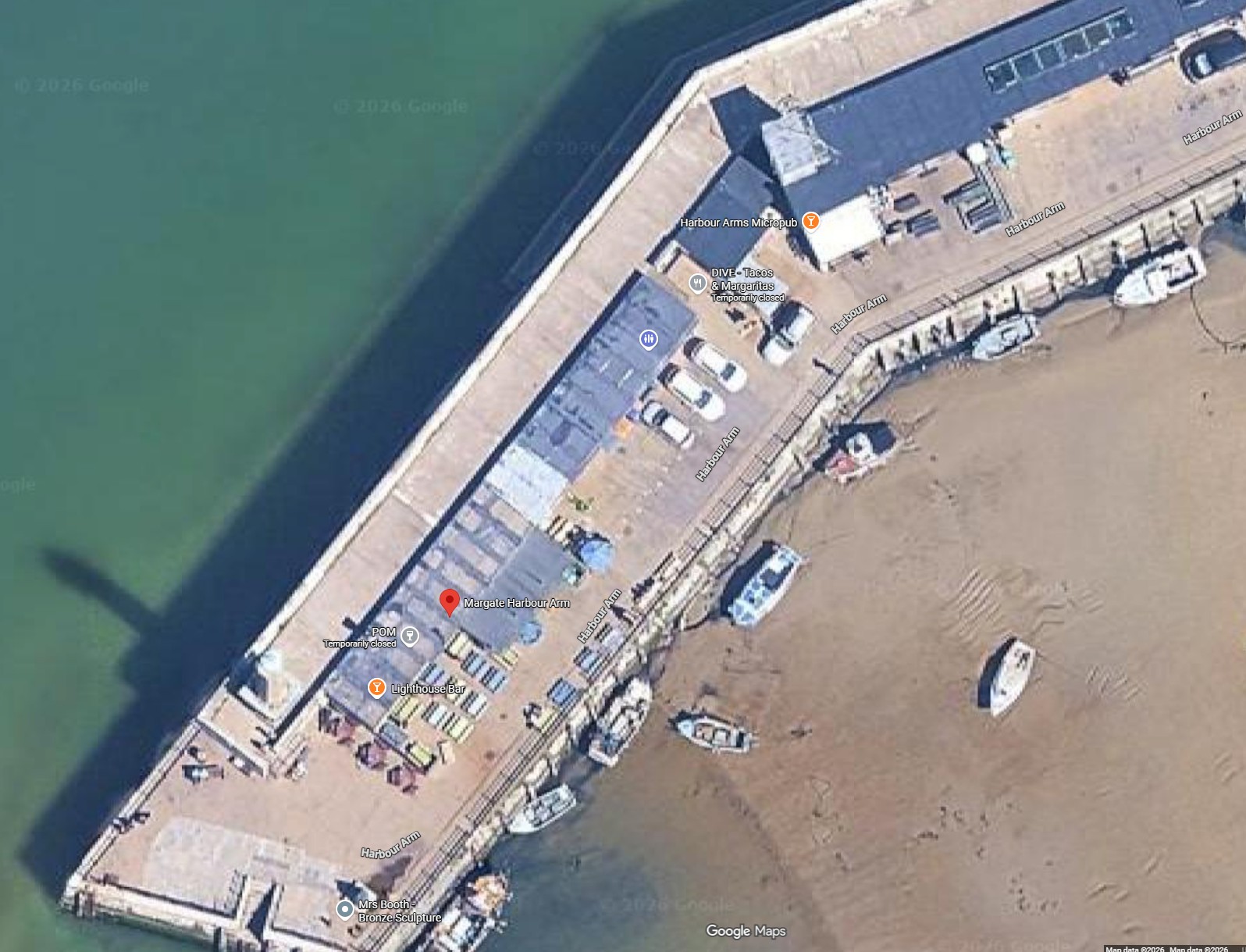
Modeling the missing lookout at the bend of Margate Harbour Arm. The supplied aerial locates it above the pier buildings; harbour-side photographs show its white walls, high observation windows and shallow roof. The first source model is ready for native placement and clearance checks. Dimensions are photo-fitted estimates.
new shadow
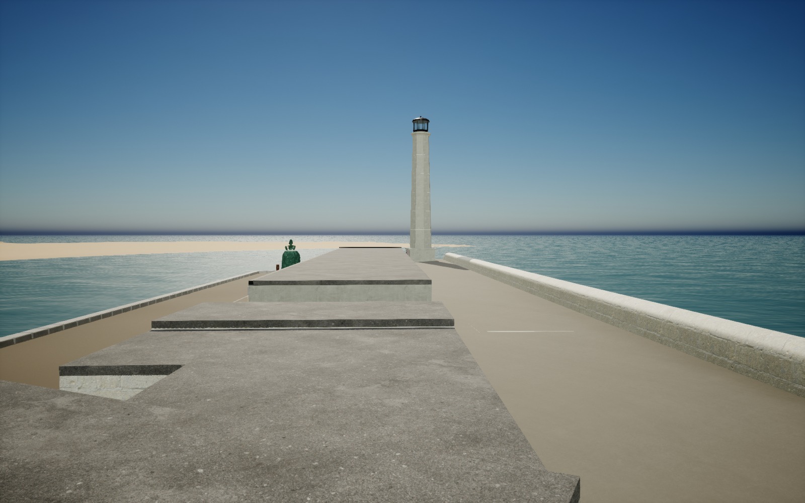
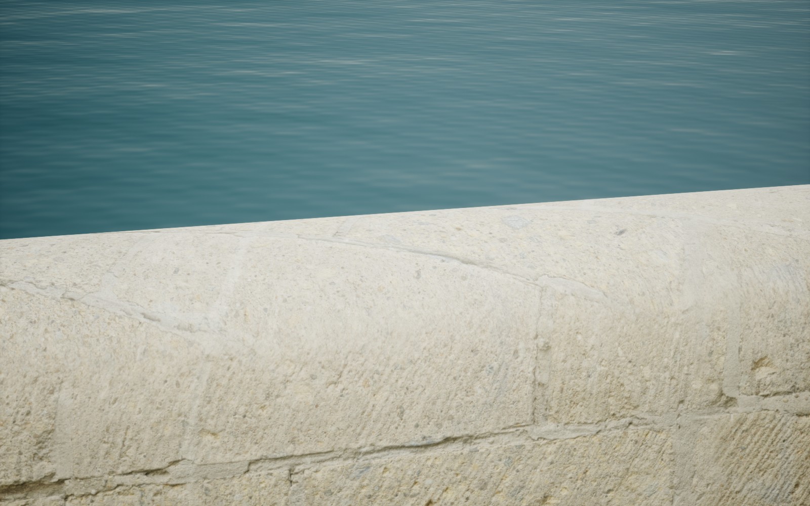
Margate Harbour Arm: the outer wall now clears four feet above the adjacent walkway, including the shoulders beneath its rounded crown. The existing stone material and curved profile are preserved, with the lighthouse-end transition smoothed. Saved and reopened in Unreal; all 1,284 standing checks and 2,560 movement sweeps pass. Image: actual native preview of the verified geometry.
new shadow
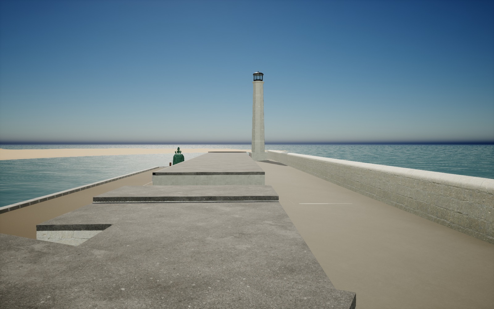
Follow-up at Margate Harbour Arm: the repaired walkway exposes how low the outer wall is in places. The next correction raises the masonry to at least four feet above the adjacent walking surface, retaining the existing rounded profile and stone material. This is the before view; the height correction is being checked before saving.
new shadow
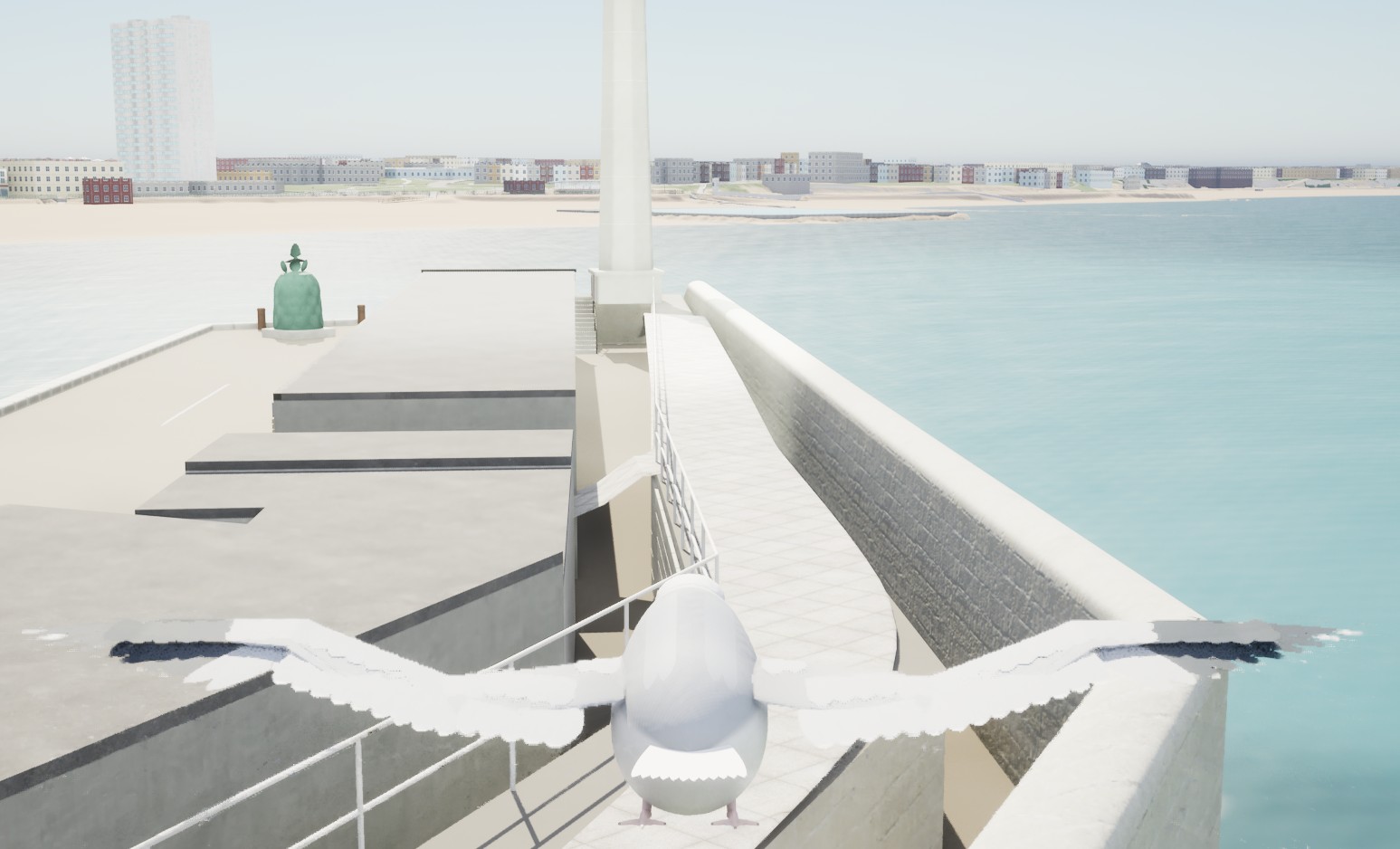
Margate Harbour Arm: the upper walkway now joins the outer wall and building backs continuously, and railings end at the first building. Saved and reopened in Unreal: all 1,284 standing checks and 2,560 movement sweeps pass, including the lighthouse steps. This actual native diagnostic view shows the repaired joins; the wider harbour realism review remains open.
new shadow
Margate Harbour Arm: this player screenshot shows the remaining gaps beside the upper walkway. The focused repair closes it against the outer harbour wall and the backs of the pier buildings, then ends the railings where the buildings begin. Source geometry is prepared; native checks and after views are next.
new shadow
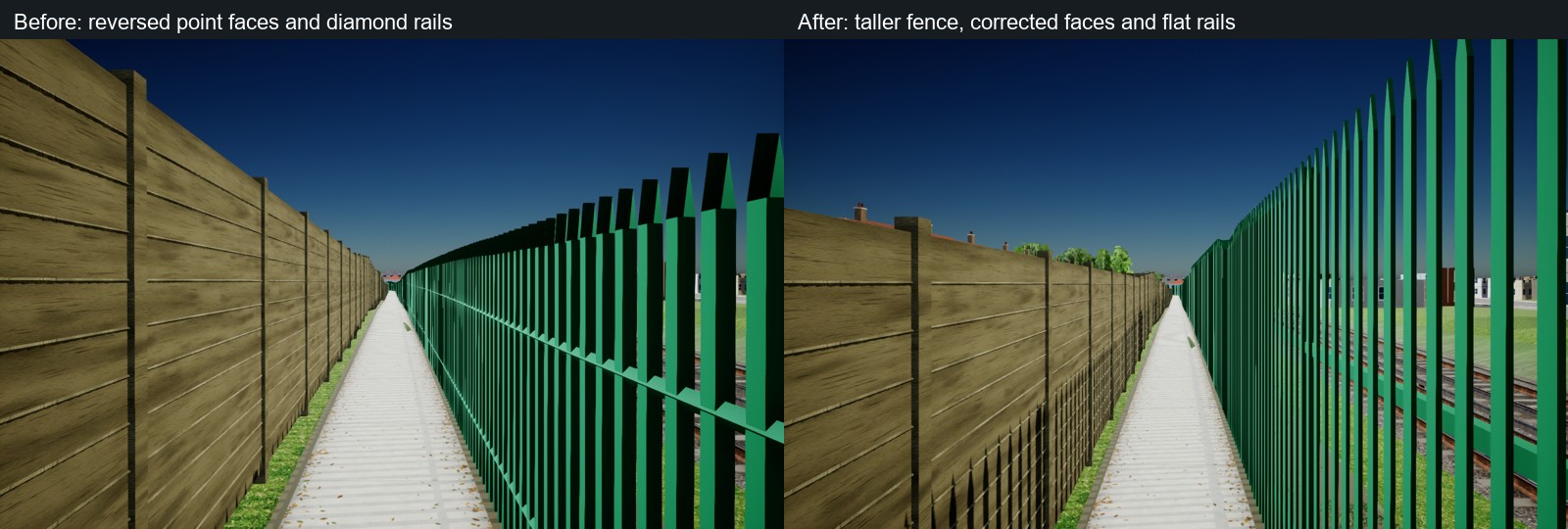
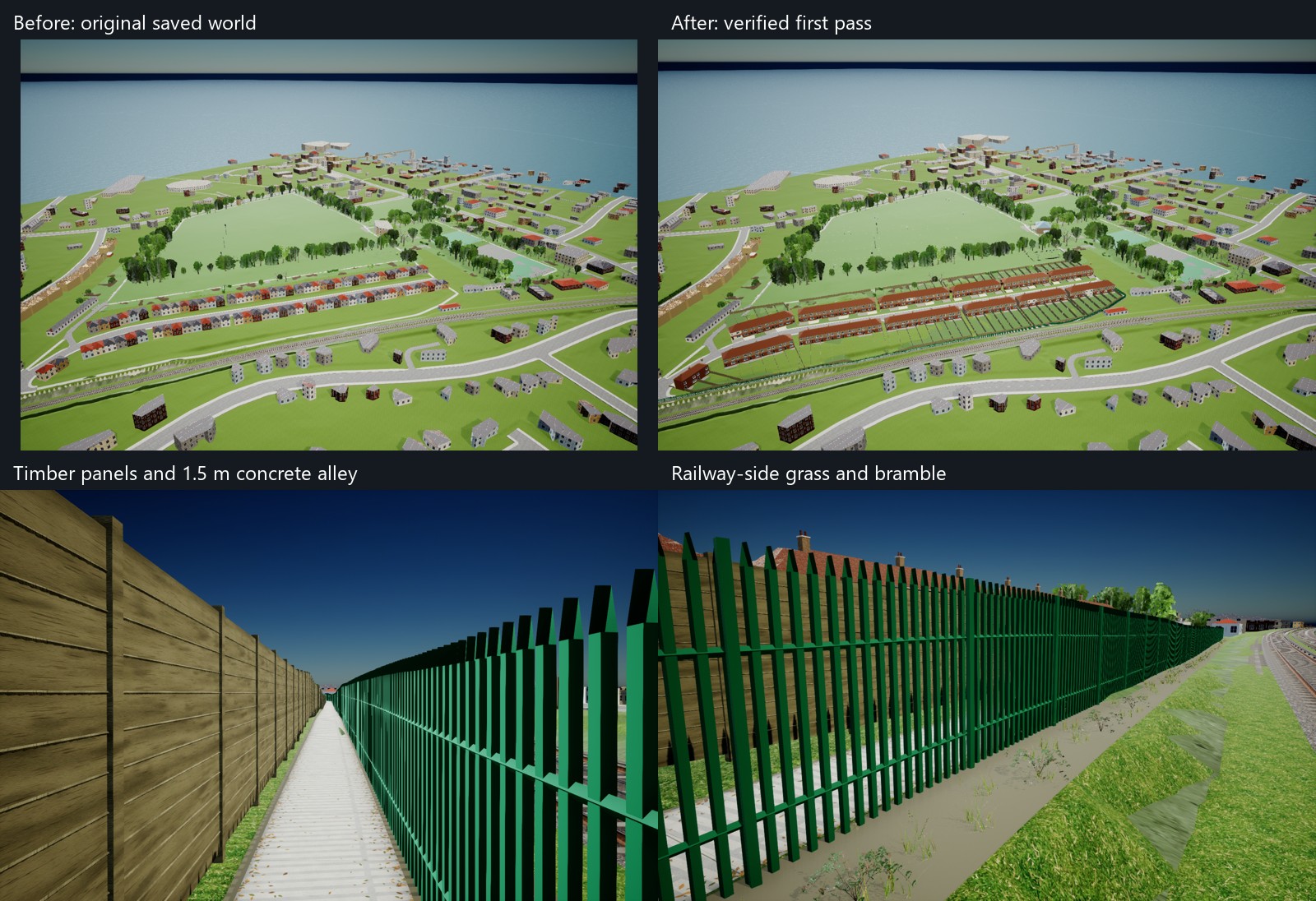
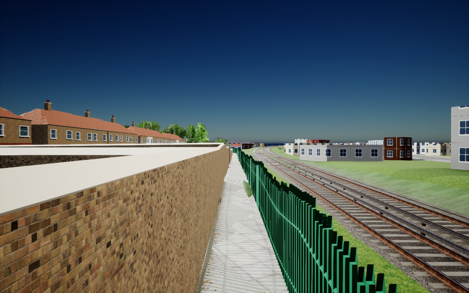
Norman Road security-fence correction is saved and visually checked from both sides. Rebuilt pointed pales have outward-facing surfaces and flat rectangular rails; the soil edge follows the alley without overlapping it. The fence is now at least 2.55 m high with smooth height transitions above the 6 ft garden panels. Fresh-world checks pass for all 219 alley samples and 82 roofs. Three mesh assets changed; 642 protected files stayed unchanged. Actual Unreal before/after views; the after camera is raised to show the taller fence.
new shadow
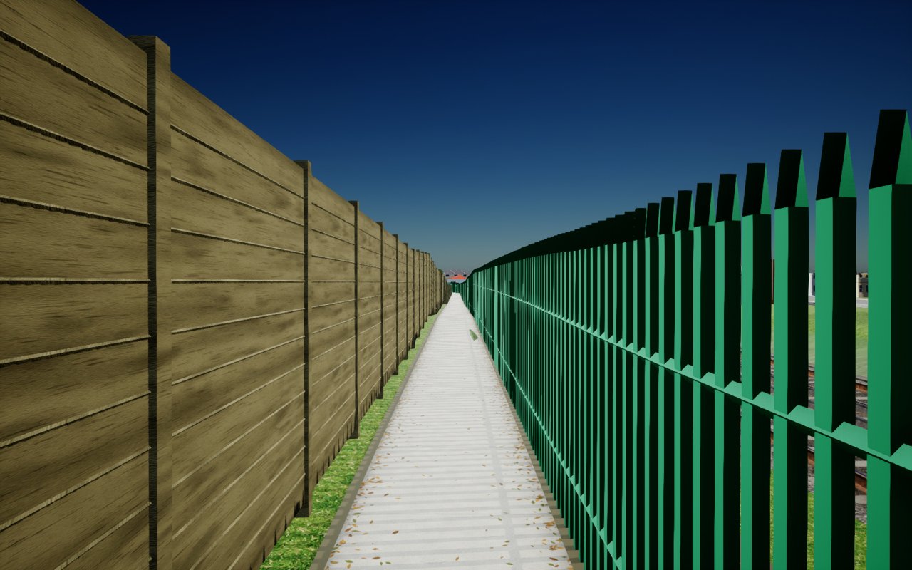
Correcting the Norman Road railway fence after close-up review: the pointed caps had inward-facing surfaces, the rails formed jagged diamond joints, and the fence needs to stand clearly above the timber garden panels. Replacement geometry is built; Unreal verification is next. This image shows the earlier version before the correction.
new shadow
Norman Road and Thanet Wanderers’ recreation ground first pass is saved and reopened in Unreal: 82 separate homes with gardens, clubhouse/café detail and rugby additions. Final garden boundaries are timber panels, max 6 ft high and about 3 in thick. The 1.5 m concrete alley has edge leaf litter, green security fencing and 606 grass/bramble clumps on the railway side. All 82 roof and 219 alley collision samples pass. Railway/bridge work is preserved. Rear details and some terrain seams remain first-pass refinements; the packaged demo has not been rebuilt.
new shadow
The first Unreal preview now has 82 separate Norman Road homes and gardens across 13 terrace blocks. The railway alley is rebuilt at 1.5 m wide, with close garden walls, green pointed security fencing, and an original concrete texture with leaves gathered at the edges. Low vegetation sits on the railway side. This is a candidate preview; collision and saved-world checks are still in progress.
new shadow
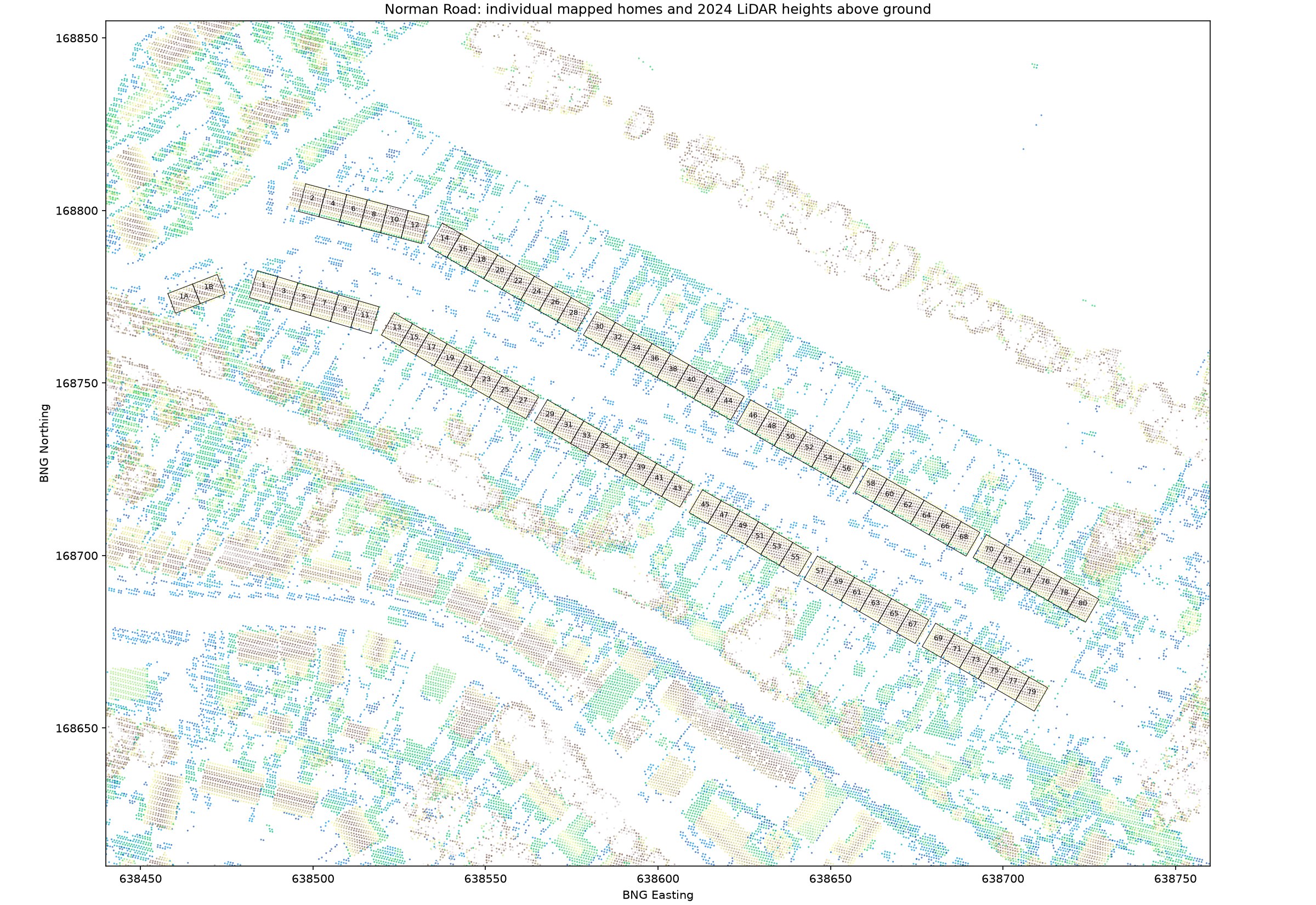
Work has started on Thanet Wanderers’ recreation ground and Norman Road. The existing parks model has terrain, trees and paths but still has plain clubhouse/cafe boxes and no rugby posts. The street survey is checking 82 individually mapped homes against Street View and 2024 LiDAR. Both rows of back gardens are included; tall park-side dividing walls and the clear alley beside the railway are explicit requirements.
new shadow
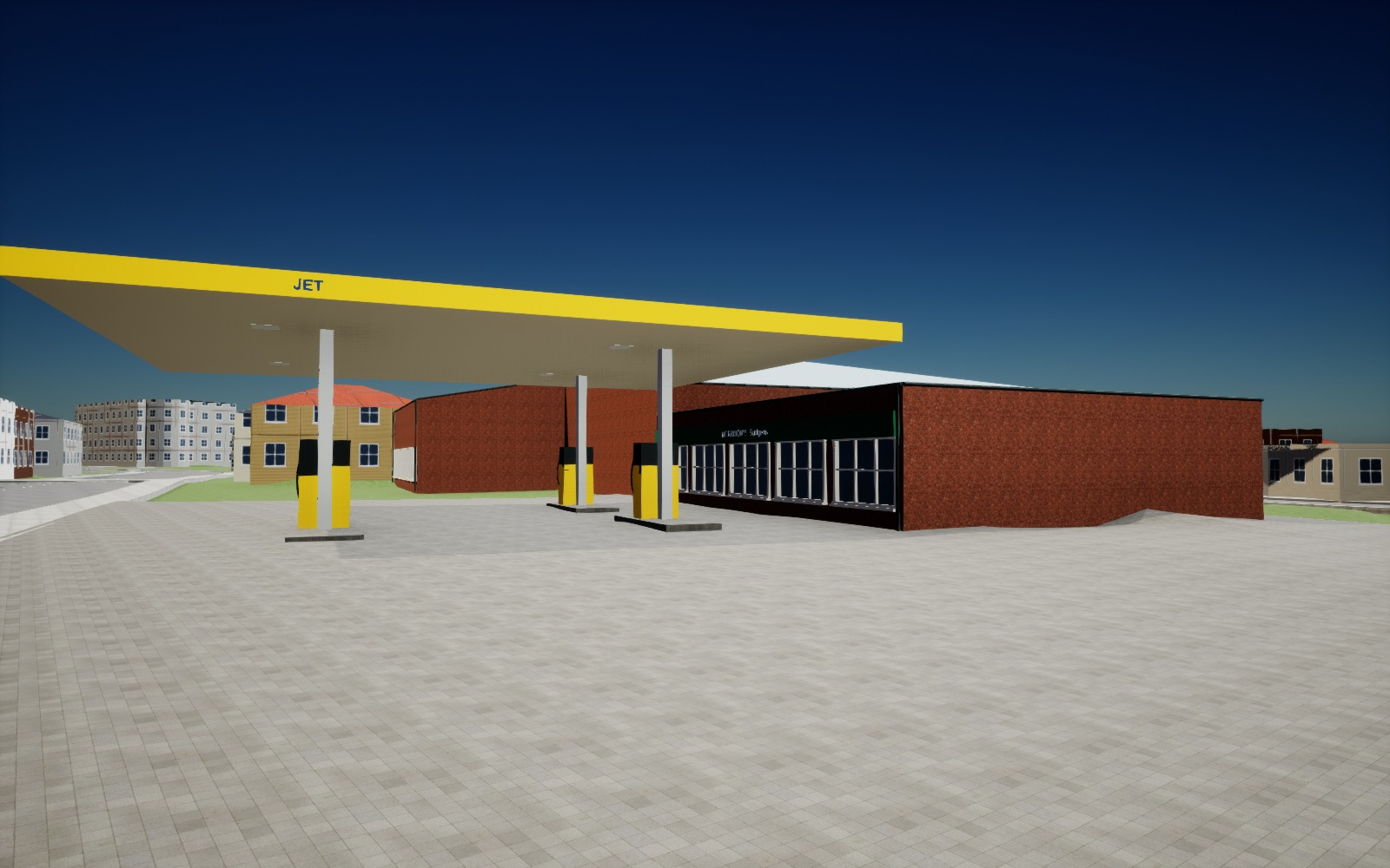
Broadway petrol station detail: the pump assemblies and islands have been rotated 90 degrees beneath the unchanged canopy. The saved model now includes the JET fascia, columns, dispensers, hoses and paved forecourt. This is an actual fresh-reopen Unreal capture. Fine signage, surface wear, forecourt markings and surrounding planting remain part of the next detail pass.
new shadow
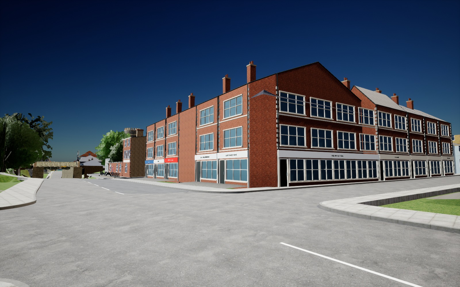
The first Broadway building pass is now saved and verified in ThanetWorld: 31 models covering the shop rows, library, JET/Budgens, Royal Mail and neighbouring premises. This actual Unreal view follows a fresh map reopen. All 31 sampled roof collision checks passed, and the shared bridge/road work was preserved. Heights use 2024 LiDAR; facades use dated Street View references. This is a first detail pass, with finer architectural and landscape work still ahead.
new shadow
Backfill: the Broadway junction before this building pass. This actual Unreal capture records the generic town blocks beside the developing Broadstairs bridge. It provides the comparison view for the new shop fronts, library, petrol station and Royal Mail models. The shared road and bridge geometry is being preserved.
new shadow
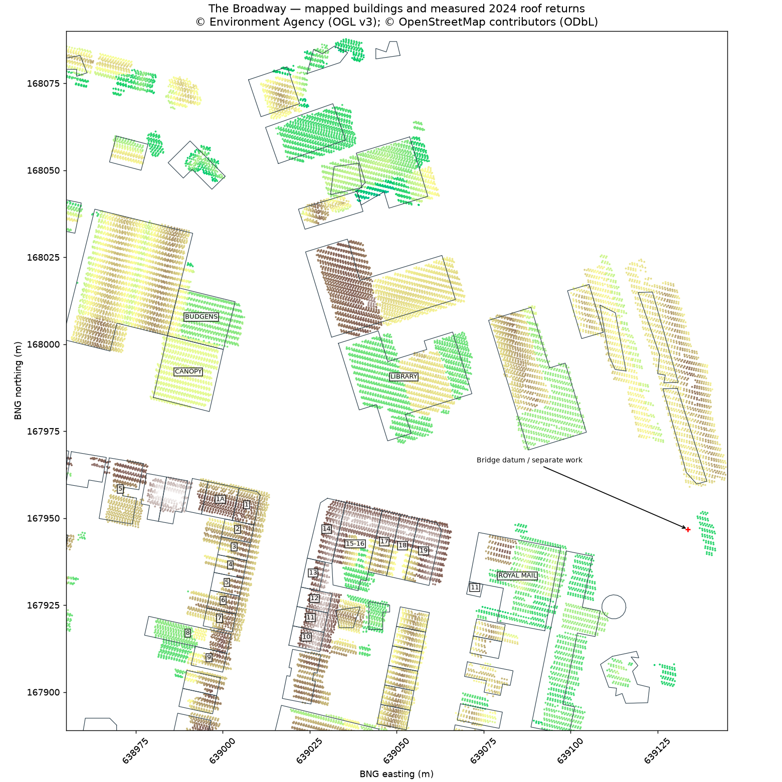
The Broadway survey is assembled: 149,667 raw Environment Agency LiDAR returns from 18 October 2024, matched to the mapped building footprints. Street View confirms the library's slit windows, the taller corner shop terrace, Royal Mail's arched windows and low metal-roof wing, and the petrol station's later JET/Budgens branding. These references are now guiding the first building models; fine dimensions remain estimates.
new shadow
Broadstairs remains work in progress. This actual Unreal preview adds the rounded bridge return, drainpipe, cable loops, station marker and adjusted house entrances around the approved road curve. All 18 house treads meet their intended levels; the candidate scene clears the old objects from all 1,704 road probes. A stale station collision mesh was also found and corrected. The upper stair landing, bulky retaining walls, station supports and planting still need work. These surroundings are not yet promoted to the saved map; the 8/10 target is not met.
new shadow
Starting the Broadway buildings at the top of Broadstairs High Street: shops, library, petrol station and Royal Mail delivery office. The existing bridge work provides the shared geographic connection. First I am checking building footprints and LiDAR heights against dated street-level references; the new building assets will be kept separate from the active bridge and station edits.
new shadow
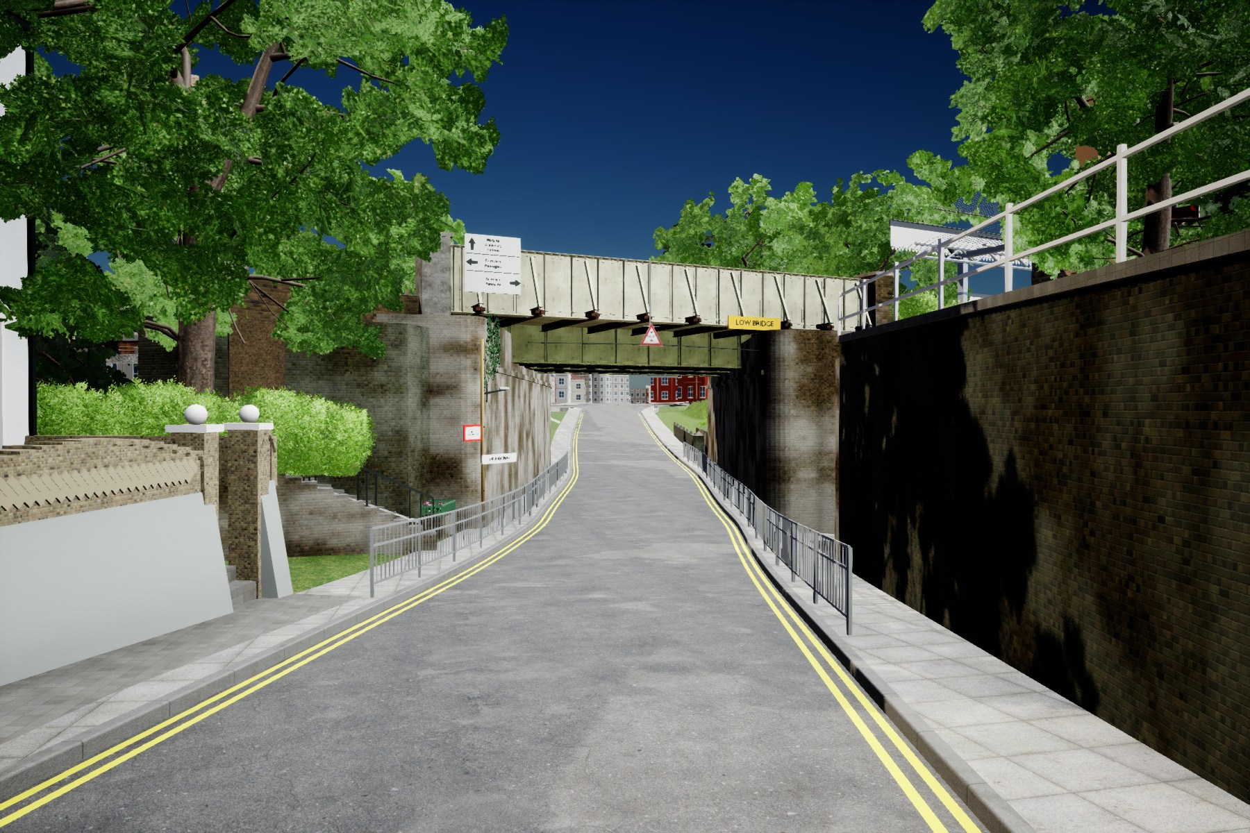
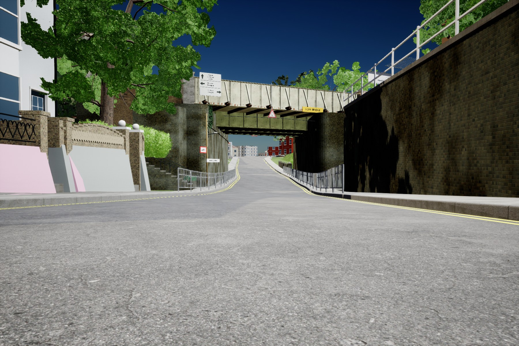
Broadstairs road foundation is saved and checked after reopening. One smooth valley curve now carries the road beneath the bridge, guided by the measured approaches and street photographs. All six joins are gap-free in the checked native meshes; 1,704 road probes pass. Full-detail railings and Crampton Tower are saved too. This actual Unreal preview includes bridge and stair refinements still being developed. The next work clears intrusive old ground around the steps; the overall 8/10 target remains open.
new shadow
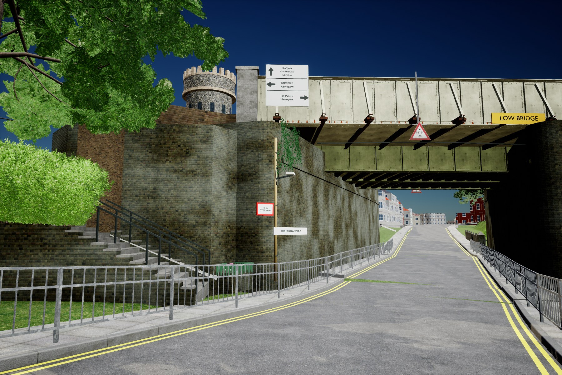
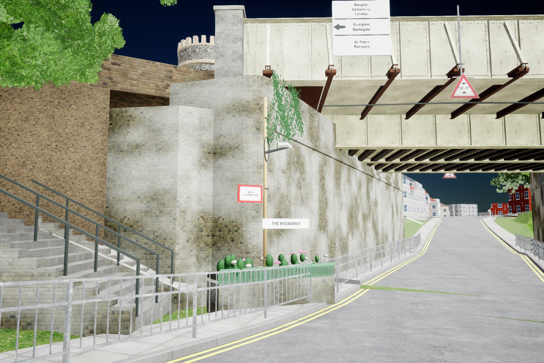
Broadstairs review correction: the flower bed now occupies a small pocket beside the steps, clear of the pavement and stair entrance. Full-detail rendering restores the railing bars and Crampton Tower battlements distorted in the preceding preview. This actual Unreal candidate still exposes broken road joins and intrusive old ground at the stairs. A continuous, smooth valley profile is now being tested; the 8/10 realism target remains open.
new shadow
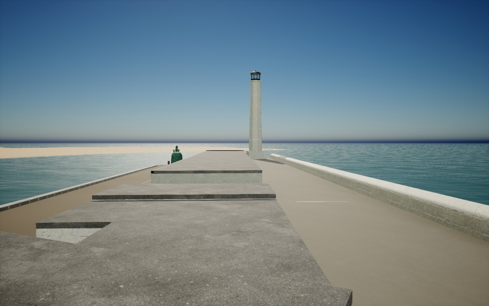
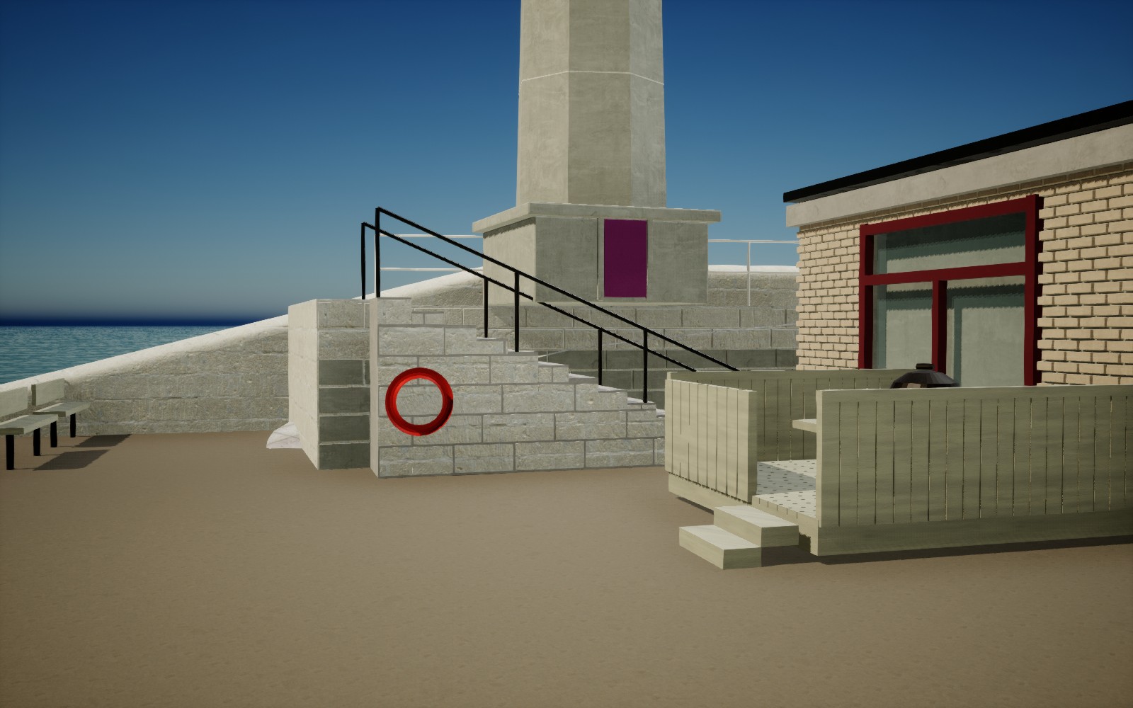
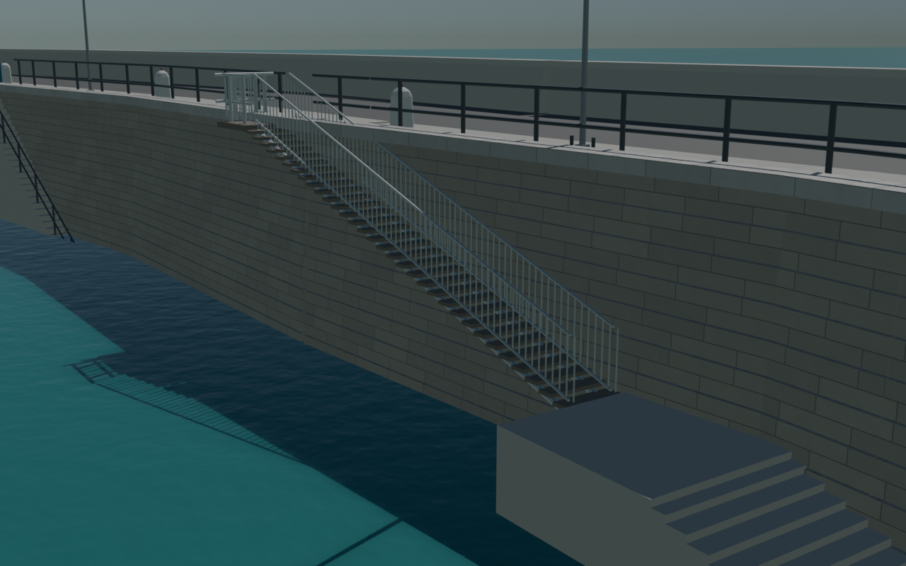
The lighthouse steps now have the pale block facing seen in the reference, and the lifering sits on the exposed wall. This native preview shows those details with the original treads and rails preserved. The continuous wall curve and plain walkway are also in place. The 9/10 gate remains open while we correct terrain clipping through the forecourt walls and a small footway overlap at the Turner-end steps.
new shadow
Broadstairs detail iteration: the south corner now has a solid masonry return, reconstructed direction board, ribbed planter, pipe, lamp and plaques. The north access has two narrow stair flights and a turning landing; all 25 modeled treads pass native contact checks. This is an Unreal candidate render. The masonry is still too bright, surrounding access surfaces need work, and road seam gaps remain visible. The 8/10 target is still open.
new shadow
Margate Harbour Arm: the rounded top is now part of the wall itself, with the existing stone texture and no separate rounded slabs. This native preview shows the revised curve. The sand now exposes both pier faces; 516 terrain/wall contacts passed. The 9/10 review remains open: lighthouse-wall details, a stair overlap and old forecourt masonry need another pass.
new shadow
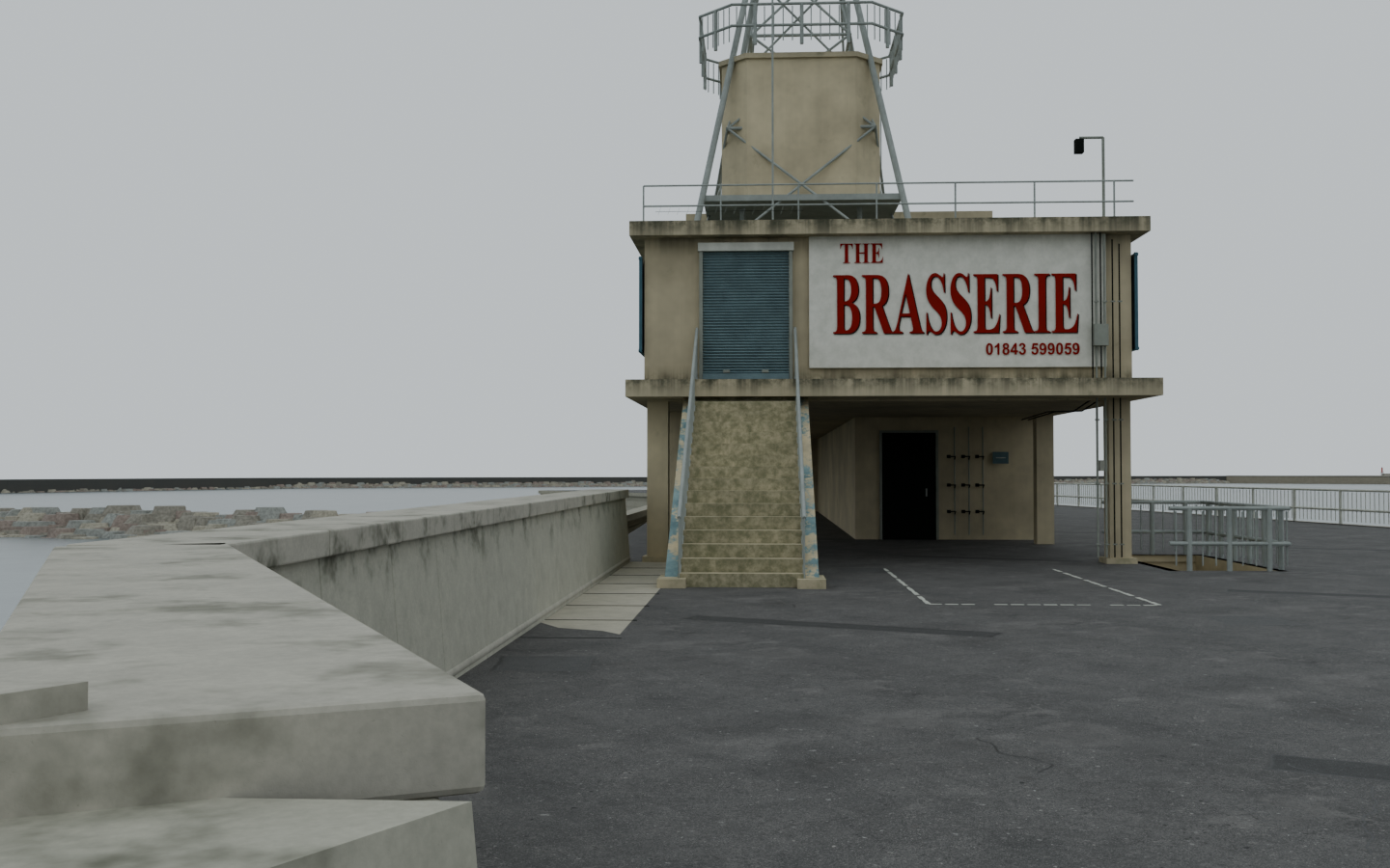
Closer reference work at the Royal Harbour Brasserie: the front now has an open bay, ribbed shutter, broad sign and a LiDAR-supported radar enclosure. The terminal wall follows the sea-side stair margin, with real stone courses. This is a weathered Blender source preview; saved explorer integration and walking checks are still in progress.
new shadow
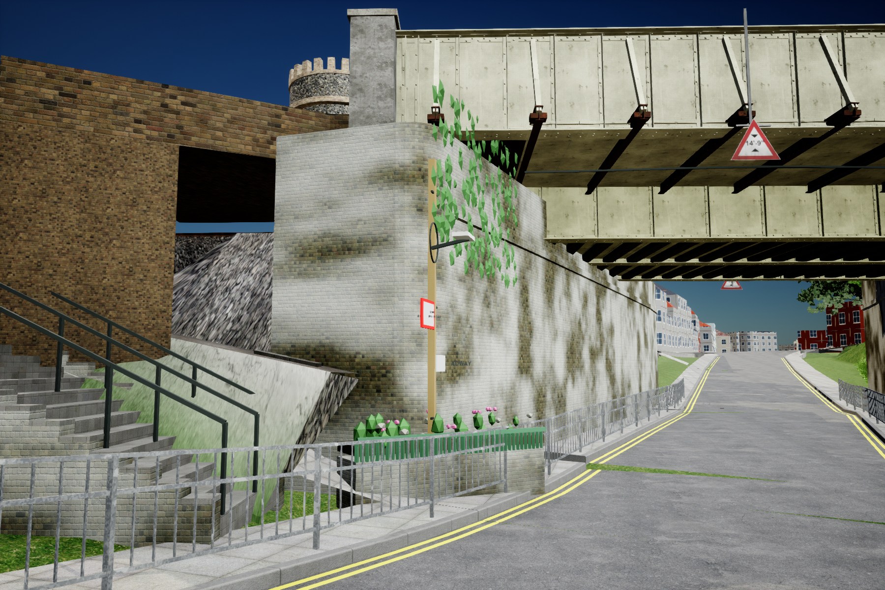
Photo-guided Broadstairs corner prototype: shaped brick return, projecting band, recessed steps and handrails, a green ribbed planter, drainpipe, cable loops, lamp and plaques. The duplicate cylindrical planter is gone and the platform underside is closed. This is an actual Unreal preview, not yet a saved geometry replacement. The masonry, planting, approach banks and surrounding walls still need refinement. All eight reference views guide the work; the 8/10 target remains open.
new shadow
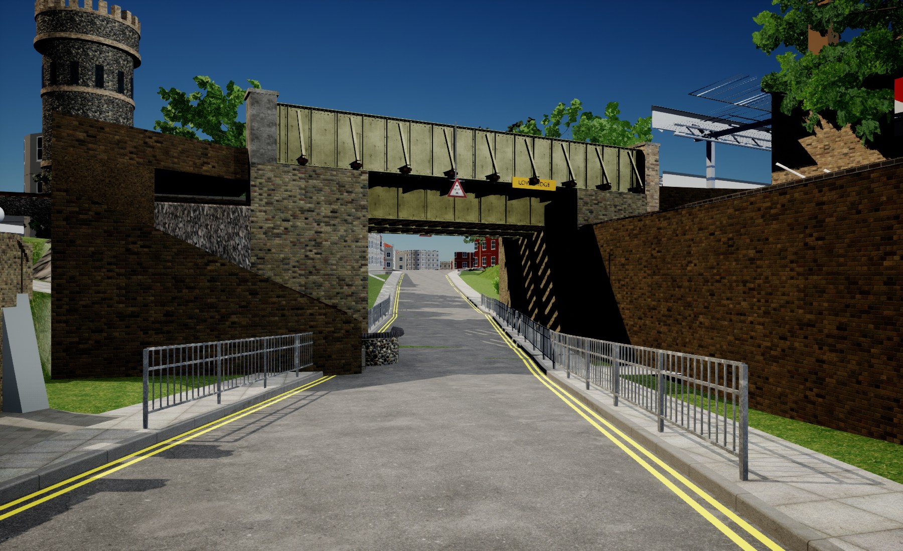
Broadstairs road foundation corrected: four false vehicle junctions at footpaths removed, the underpass carriageway made continuous, double yellow lines fitted to the kerbs, and pedestrian guardrails added. The approach profile is checked against 2024 EA LiDAR. Saved road geometry has passed 74 centreline collision checks. This native render also exposes the next major defects: open deck gaps, oversized walls and incorrect stair recesses. The 8/10 target remains open.
new shadow
The Street View walk is complete in both directions. LiDAR showed the old pier was too wide and shifted seaward. The geometry candidate now follows the dry pier and includes the distinct granite access and metal upper flight leading to a stone landing and lower steps. This is a Blender geometry diagnostic; native weathering and the 9/10 gate remain open. Its review also exposed raised paving edges and an incorrect Brasserie front silhouette, which are being corrected before native acceptance.
new shadow
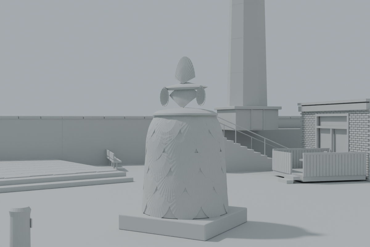
Margate Harbour Arm modelling study: Mrs Booth is now placed from the local map record and scaled to the artist's stated 12 feet. The head has separate shallow terrace steps and a narrow descent towards the sea. This grey geometry render shows the current study; the sculpture's shoulders and arms still need refinement. Native weathering and walking checks are pending, so the requested 9/10 realism gate remains open.